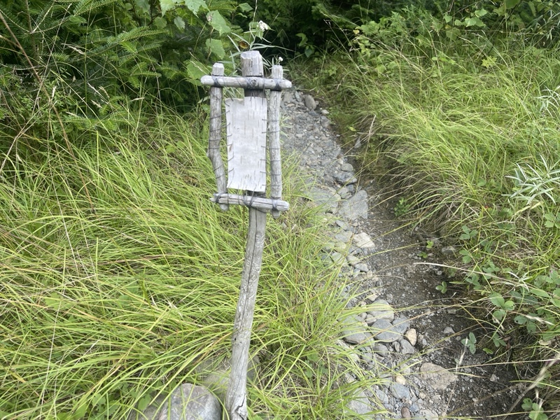
Holly Brook 2045.8 to Horseshoe Canyon Lean-to 2070.8 (25 miles, 1,045.4 total miles)
I got myself a little freaked out last night, stealth camping alone for the first time since Pennsylvania, and having just listened to the Shenandoah Murders podcast episode of Backpacker Radio.
However, I pulled a Shrek and just put my music on and ignored any strange sounds I heard in the woods. I’d finally gotten to sleep in my tent with the rain fly off, as an added bonus.
I slept well, though 4:30AM came fast. I was up just before 5, and for the first time since the 501 Shelter, had to use my headlamp to break camp. The sky didn’t start to get light until 5:30 now, and I knew the days would only continue to get shorter.
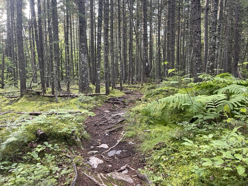
I was hiking by 6, my earliest start in a while. I felt sleepy as I started making my way up a very easy, 3 mile incline to get me to Pleasant Pond Lean-to, where I wanted to stop and use the privy.
I really wasn’t a fan of digging a hole to do my business, so I typically did what thru hikers refer to as “brown blazing”, and sought out the nearest privy or bathroom when nature called, which often meant hiking up to several miles to do so.
When I got to the shelter an hour later from a .1 blue blaze, I met three SOBO flip floppers, who’d flipped up to Katahdin a couple weeks ago.
They were very friendly, and one of them thought he might have met me earlier in my hike, but I couldn’t recall. They told me Daddy Long Legs was just ahead, but they hadn’t seen Woods.
I was idly curious where he’d ended up yesterday, since he was 26 miles into his day when we parted ways. After a few minutes of chatting with the trio, I pulled myself away to hike up Pleasant Pond Mountain.
It was only a 1,000 plus foot climb over 1.3, but it felt really good to climb an actual mountain after 24 miles yesterday at low elevation.
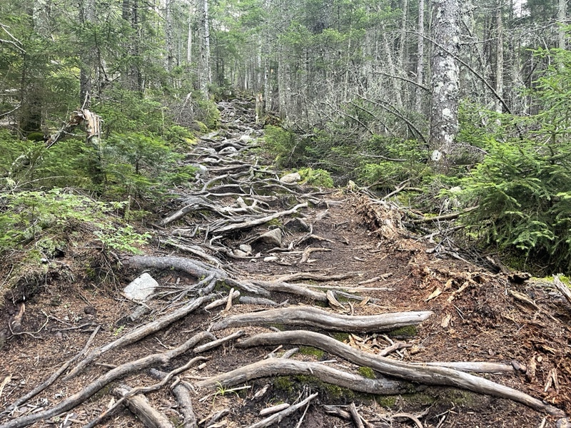
I realized when I was a couple tenths of a mile up, I’d neglected to collect water and had 6 miles to go on 3/4 of a liter.
When I made that realization I’d just climbed a six foot mini cliff, and lost my balance. I managed to throw myself to the left of the trail, where a soft pine needle bed caught me easily, but if I’d fallen off the rock that could have been unfortunate.
The rest of the climb went fine, and I crested onto flat rock that I zoomed up to some very nice views, though the sun was directly in my eyes.
Since I’d modified my gait like Catchup had suggested, my calves hadn’t been bothering me at all, now that I was making my upper legs and glutes do more of the work.
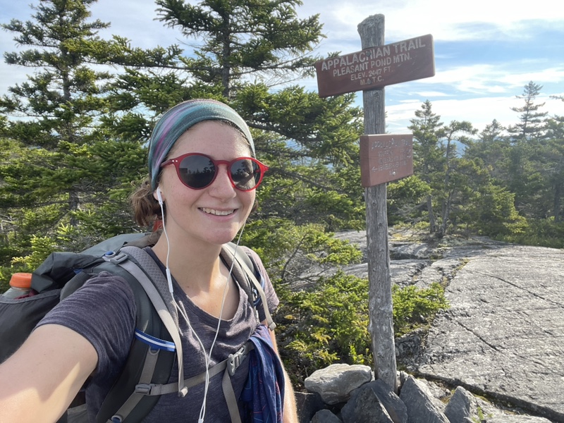
I caught Daddy Long Legs at the summit and cruised by after spending a couple minutes at the sign. I put a long Burt Kreischer podcast on as I hiked down the mountain.
I was planning on hiking 25-30 miles today, to nearo into Monson tomorrow. I didn’t want to zero there, so getting as close as possible would be key. There was a shelter at 25 and a stealth spot at 30 miles, though I’d never done a 30 before.
I knew I was in for a very long day of hiking, so I put on podcasts to pass the time, and used music to hike up the two big inclines I had for the day.
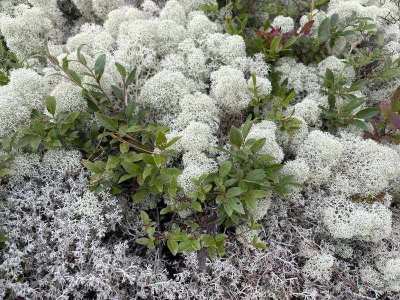
I went .7 down to Middle Mountain, though I must have hiked right by the sign if there was one. It was very pretty with more exposed rock, cairns, and various jade green shades of moss around the trail.
A 5 mile descent got me to Moxie Pond Road, where I arrived at 9:30. The descent felt very protracted, but it was quite pretty. Characteristic of Maine, with lots of evergreens, large boulders, and dark green moss coming down the mountain.
I walked .2 down the gravel road, past the pond and power lines, and encountered a man sitting by a trail sign and eating a packet of dried ramen. He said he’d thru hiked in 2012, which checked out based on his choice of snack.
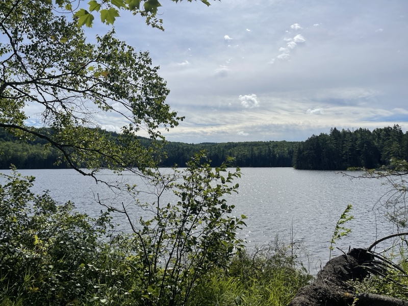
He warned me about a spot several miles further that required fording some mud. I knew I had two big fords coming up that I was a little nervous about to do alone.
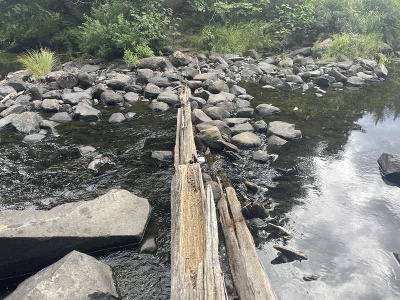
The Moxie Pond outlet just ahead was supposed to require fording at times as well, but today it was a simple rock hop. I collected water on my way by, and took a break to filter it and let my feet rest a few minutes after going 9 miles.
When the Bertcast episode ended, I put on a Backpacker Radio episode about the AT. I’d downloaded a lot of podcasts I hadn’t listened to yet, having spent so much time hiking with Catchup and chatting all day, so I had a whole back catalogue to get through.
Similar to first thing this morning, I had another easy, almost 3 mile incline up to Bald Mountain Brook Lean-to.
I found the privy right off trail before the shelter, so I made a quick pit stop there. All day I’d been eating various hiking food from my fanny pack and hip belt pocket as I hiked, my body demanding fuel to keep up with the 2.5-3MPH pace I was going for.
That, of course, meant an extra privy stop on my way with how fast my metabolism goes through food now. I felt myself turning into a hiking machine more and more, and was finally at the level NOBOs were when I got on trail back at Harpers Ferry in May, which is almost crazy to think about.
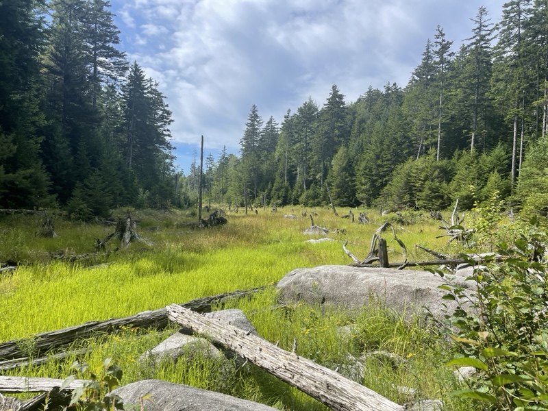
Just a bit further I stopped at Bald Mountain Brook at quarter to 11. I was 12 miles in, and figured it would be prudent to take a lunch break.
I ate half my Meal2Go bar, and ended up finishing the other half later while hiking, and chugged my midday electrolytes and caffeine. I also queued up a bunch of music from my various playlists to get me up my last big climb of the day.
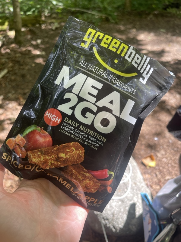
Unfortunately it didn’t take the first time, so I spent a few extra minutes redoing it. I felt the caffeine hitting my blood as I did so, and starting up the incline I was hiking like crazy.
I saw a very sweet family and their beagle at the beginning of the ascent, and passed by quickly, amped up. The climb was visually fantastic, the greenery popping and the rugged beauty of Maine once again pulling at my heartstrings.
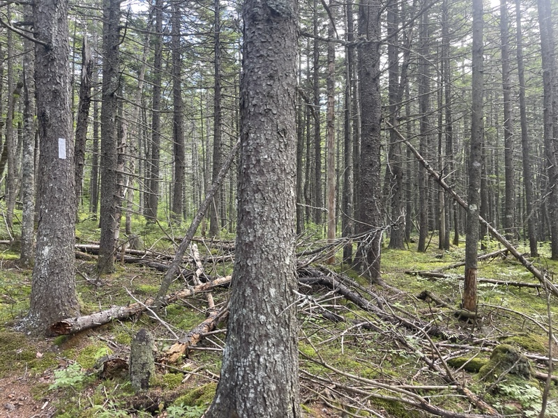
It was an easy 2.1 ascent of 1,400 feet and I was enjoying the ride. I passed a trail junction, then had a nice little flat section before a big cave that I was excited to see a third of a mile before the summit.
As I was approaching the cave, I let out a very loud belch. This is not unusual for me on the trail, or most thru hikers, because again backpacking food goes right through us and it’s very high in fiber.
Apparently I’d startled a trio of middle aged men who were standing just under the huge slab of rock on the other side of the small cave.
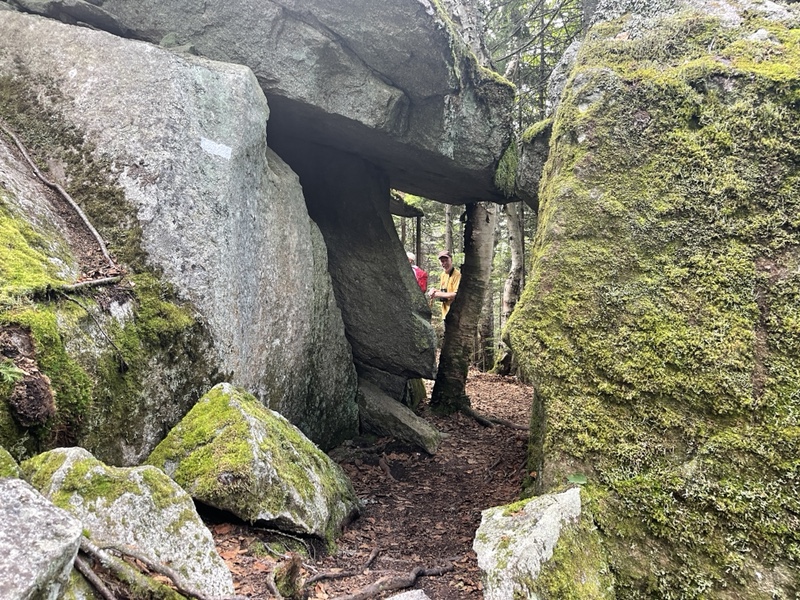
I paused my music and laughed, apologizing for my poor manners. I hiked up to them and looked up at the stone, commenting on how cool it was.
The man standing closest to me told me to take out my earbuds, and I responded that it was paused. He asked me what I was listening to, and I answered honestly, “Eminem”.
He told me to turn it off, and asked how could I come out into the wilderness like this and listen to music. I immediately said, “Okay, I’m not here to be told how to conduct my thru hike,” and started to walk off. I didn’t have time for that nonsense.
I told him that was a rude thing to say, and he replied he was joking, but I knew he hadn’t been based on the way he’d said it.
I hiked up the trail, which had become vertical again, thinking about what had just happened. Maybe it is a bit of thru hiker entitlement I’d developed, but I literally currently live in the woods on the trail, and this man was clearly on a day hike.
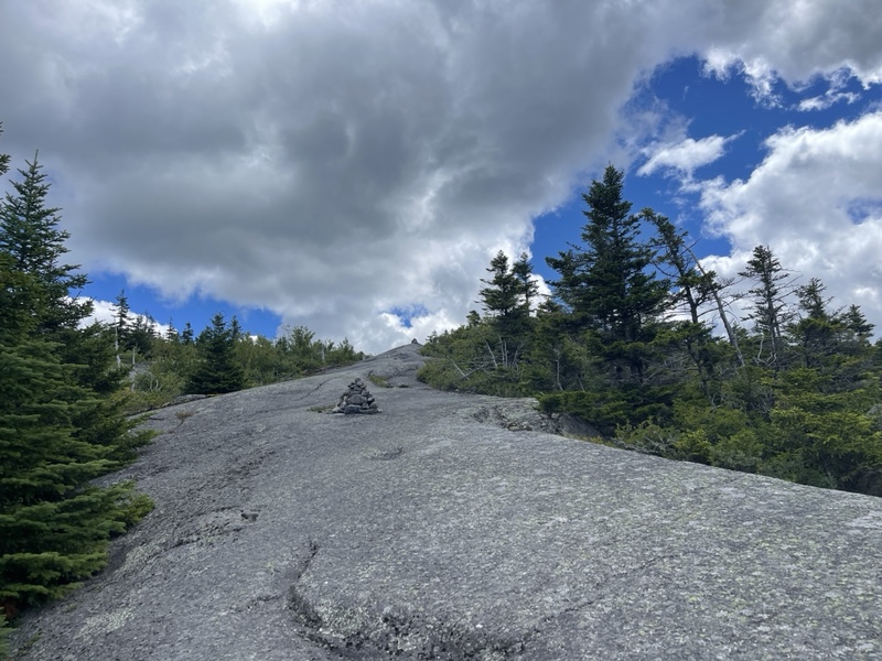
It felt akin to him walking into my house and telling me to turn off my own TV. I guess maybe he meant well, but it really was none of his business.
Those who’ve read these posts from the beginning know I did a no-media thing while hiking for my first couple weeks on trail. I regularly try to hike in silence as well to be in touch with myself.
Though I doubt this person knows what it’s like to hike for 10-12 hours a day for months, and use music, podcasts, and audiobooks to keep his mind entertained. He has no idea I’m working through a big loss right now and using these things to help me cope.
I wasn’t that fired up, but I did of course think of all the rebuttals I could have said for the rest of the day. Such as, “I’m sorry, if I didn’t have my music on so loud I’d have heard the sound of your trail police siren”.
Needs some workshopping, but you get the point. That universal experience of thinking up better comebacks after something has already taken place.
Moxie Bald Mountain was quite pretty, but I was disappointed when I saw a couple of middle aged women near the summit sign. I thought they might be with the men, and was feeling prickly just then.
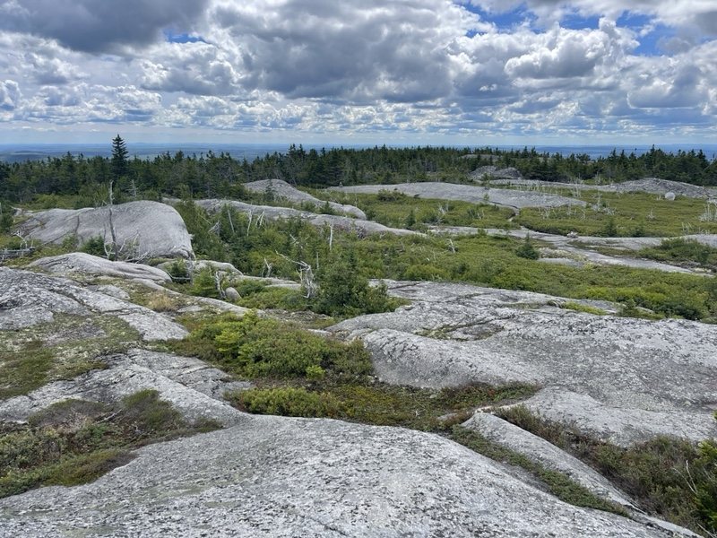
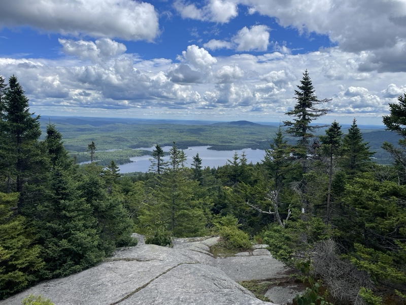
At the very top of the ascent, with a beautiful view of a lake far below, I stopped for a bit because I found three bars of LTE. The women hiked by, and I noticed they looked more like they were out for an overnight or a section.
I almost considered waiting for the men to arrive on the summit, and casually asking what took them so long. Maybe if I wasn’t doing a big mileage day I could have indulged that level of petty. I just really wasn’t in the mood to be messed with.
Another couple miles brought me 1,400 feet back down to Bald Mtn Pond Lean-to. About 15 minutes before I got there, I made to step over a small stream.
As I was stepping, I pulled out my phone to check the nearest better water source, and my foot slipped right into the water, but so did my phone.
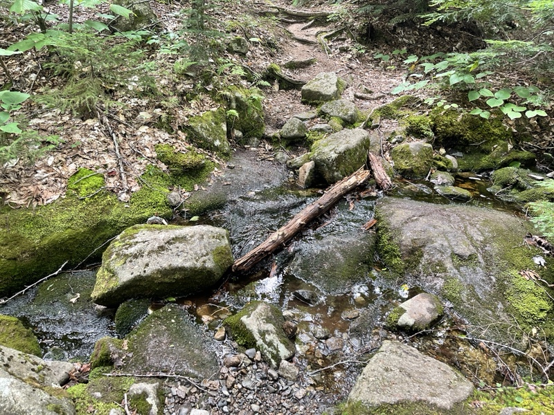
I snatched my phone up before worrying about my now soaking wet right foot, and as I hiked down the mountain, I took my phone out of the case and dried it with the bandana hanging off my chest strap, blowing air into the speakers and charging port.
Hoping a crisis was averted, I collected water just before the shelter, which was just off trail, so I filtered there and drank half a liter. It was 1:15PM, and I only had 9 more miles to the shelter. I projected I’d get there at 4:30, and still have time to hike another 5 miles if I felt up to it.
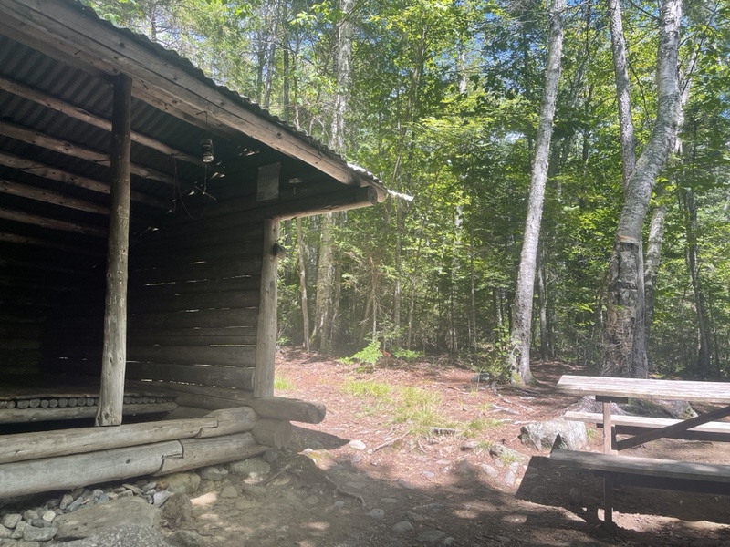
By 3:00 I’d done another 4.5 barely descending miles, though I was starting to feel tired. I passed a couple older hikers, including Squirrel, who I knew I’d met before but couldn’t place where.
The last couple miles were lots of stone hopping, and I finally arrived at the muddy place that I’d been told about. I got myself ready as best I could, which took several minutes.
I packed away my phone and earbuds, I switched to my crocs, put away my socks, and hung my shoes and fanny pack on my actual pack, because I knew I was facing waist deep water.
I went one step farther, and used hair ties to attached my crocs to my ankles, since I’d read in the guide and been told by SOBOs that the mud loves to steal camp shoes. It wasn’t comfortable, but I really didn’t want to lose them and have to go searching.
I started with the muddy spot, walking on branches that were scattered over the deepest part the best I could. The trail then continued through a few more mud patches – the hair ties were a great idea – before arriving at the first crossing of Marble Brook.
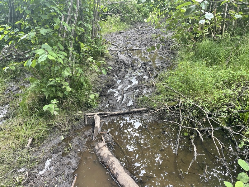
The first section had a downed tree that I was able to climb across with only getting my feet wet. The second part was a little trickier.
To the left was another downed tree, but didn’t look able to support the full weight of a person. All the way to the right I saw what looked like a rock bed, which I confirmed with my trekking poles.
It was harder to get into the water where the rocks were, but I knew that they’d hold my weight without more mud. Looking out for leeches, I made myself drop down into the water, where I was immediately soaked from the bottom of my butt down.
I waded across as quick as I could, and emerged on the other side, through a little more mud and finally back onto dry land.
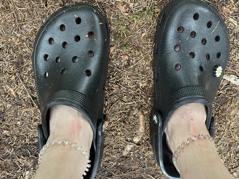
I kept my crocs on for a flat .4 walk to the next ford, which was the west branch of the Piscataquis River. This was a much bigger and faster ford to cross.
However, under the water was rocky and not muddy. I tried to spot a fording guide, which was usually just a piece of rope strung across the water, but didn’t see anything.
I hoped I was crossing at the right spot, which was just before the river went over some large rocks and made a tiny waterfall.
I walked in, and toward the middle the water got knee deep and so dark that I couldn’t see the bottom. I had to drag my feet and try to feel the rocks underfoot, without slipping on them or getting pushed by the rather strong current.
When I was toward the end, I was able to climb up onto a protruding rock. I threw my trekking poles to shore so I could free my hands, as I thought I could make it up the rocks that were a couple feet in front of me.
Too late I spotted the two large spiders lurking on the larger rock, where I was intending on throwing my weight. I started to regret throwing my poles, not confident of getting back in the water without them to stabilize me.
I had a moment where I thought about trying to throw my pack the five feet up to shore to lighten myself up. I even had it in my hands, swinging it for momentum, when I realized that wasn’t a risk I was willing to take in case it fell into the water.
I put my pack back on, and used my Smartwater bottle with the filter on it to scare the spiders further down the rock. With a leap of faith, I threw my body toward the large rock, and scrambled my way up to shore.
I checked the guide, and realized I’d definitely gone further downstream than was technically the trail, but it was less deep than 20 feet up, and it was a way that plenty of people had gone, because there were use paths around.
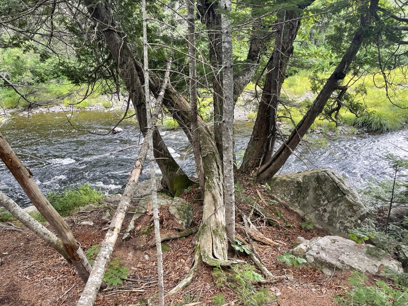
I felt absolutely spent from those crossings, even though it had only taken about 25 minutes to do in total. It was 3:24, and I told myself to rest till 4.
I saw there was another ford ahead if I was to hike past the shelter, and that put the nail in the coffin of my potential 30 mile day. I knew I could do it, but wanted to leave reserve fuel in the tank and not burn myself out.
I drank electrolytes because I felt so weary, and had a snack. I’d eaten so much trail food while hiking today that I’d gagged on a protein bar earlier, so sick of eating the same stuff all day to keep hiking.
Squirrel and her companion arrived while I was breaking, and I told them where I’d crossed, and congratulated them when they’d made it past as well.
I told myself to take my time getting the 3 miles to the shelter. The trail followed the river to my right the whole time. I was tempted by a very nice stealth spot .3 before the shelter, but I wanted to be in proximity to people tonight.
I got to the shelter at 5PM. I’d taken at least two hours of breaks total, and ended up traveling exactly 25 miles in nine hiking hours, which was a pace of roughly 2.8 miles per hour, including over 8,000 feet of combined elevation gain and loss. I was quite impressed by that, compared to where I came from.
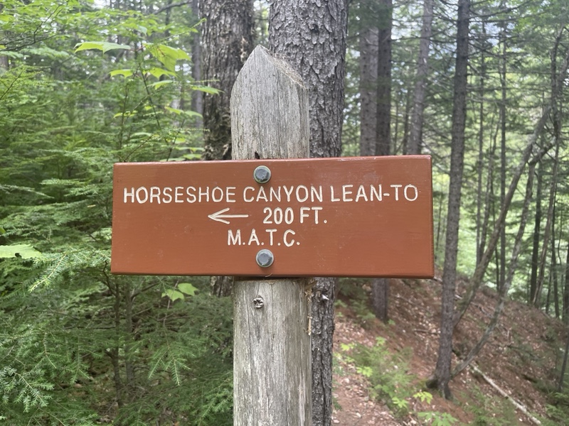
There were a few section hikers at the shelter, including a family of three with a very young boy who’d day hiked Katahdin as his first piece of the AT a couple weeks ago, which I thought was impressive. They were out for five days this time.
I had an amazing mushroom pot pie dehydrated meal I’d bought at The Maine Roadhouse for dinner. I needed vegetables and as close to real food as I could get after eating a gross amount of trail food all day.
I finished watching the Netflix movie I’d downloaded, and made sure to stretch and massage my legs very well because I’d done so much the last couple days.
I had only seen a few thru hikers today going north, and I missed being in the little bubble of southern Maine with Neo’s group and Halfway around. Of course, they were all days ahead now if not just about done.
It wasn’t great for me to be so isolated right now. I knew that my southern hike would be very much like this, which is why I’d been hoping to have the social experience all the way to Katahdin.
I was still half in shock at how quickly things had changed in the last few days, and not sure how much processing I’d even done yet. At least hiking big miles was helping to restore some of my confidence in myself.
I had to believe there was a lesson in here somewhere, that this experience was going to teach me in time, and one day I’d look back and understand perfectly why it all happened the way it did. Till then, I’d just keep hiking, because that’s what I came here to do, for nobody but myself and my own growth.

