
Mt Collins Shelter 1990.3 to Russell Field Shelter 2012.3 (22 miles, 2012.3 total miles)
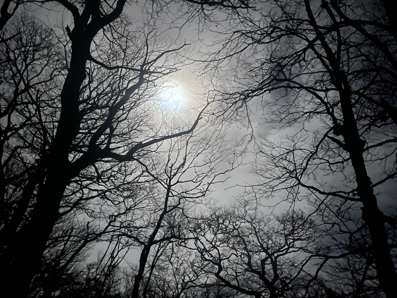
After a couple days in the park, I was noticing a bit of a pattern in the Smokies. It seemed the sky would clear up at night, showing beautiful views of the moon and stars, then in the morning I’d wake up and everything would be foggy and rainy again.
I got up 6:30 with just one alarm, and only the two section hikers and Happy were still at the shelter. Everyone else had gotten up early and hiked out for sunrise on Clingmans Dome, the highest point on the Appalachian Trail. I didn’t bother because I didn’t expect there to be a view, and wasn’t getting up at 4AM by any chance.
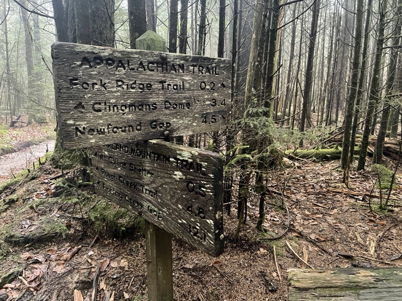
I left camp at 7:45, went down the .4 side trail back to the AT through a spruce-fir forest I could now see in daytime, though the day was extremely overcast. I finished the climb up Mount Collins, descended a short bit then began 1.6 miles up 900 feet toward Clingmans.
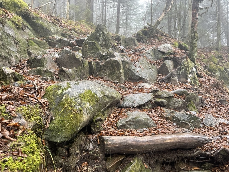
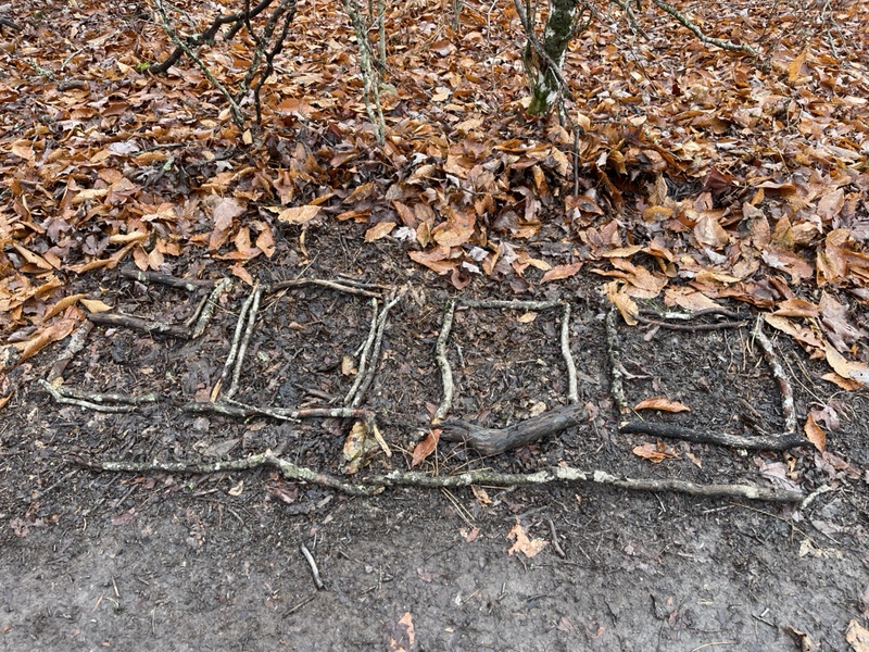
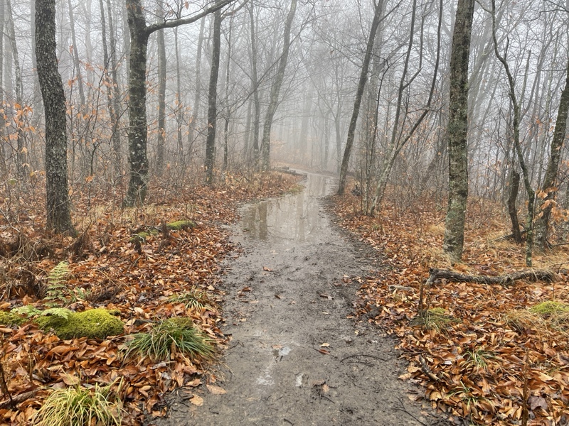
The ground was very wet and rocky, and it was easy to slip on leaves or slick rocks. At one point, I tripped on the end of a stick and went sprawling forward. Because I was going uphill with my trekking poles angled behind me I couldn’t catch myself with them and completely face planted on the ground.
I’d never done that before on trail, but had gotten very lucky that my chin and left cheek landed on a few soft and wet pieces of broken wood instead of the rocks directly underneath. I sat up after a minute, assessing the damage, winded and a little shocked.
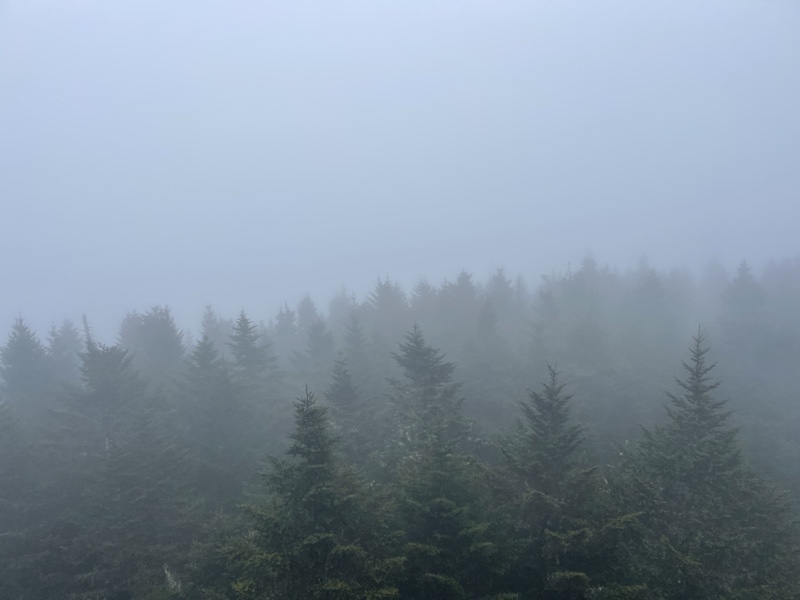
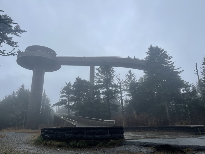
Finally I made it to the top after what felt like an arduous climb, and walked up a long spiral ramp to the observation tower at 6,612 feet. It was fully raining by now, and I sat on a bench at the top, trying to stay out of the wind and rain. I had some editing and posting to do, so I was up there for about 45 minutes.
From the tower, it was impossible to see anything but the closest trees. I fought disappointment that I’d hiked 2,000 miles to get here and didn’t get anything of a view. I was now standing higher than Katahdin, though it didn’t feel that way for some reason.
Happy arrived shortly before I left and we both lamented how poorly the day had started before I descended 3 miles down to Double Spring Gap Shelter. It was a rather miserable section of trail, with rain coming down steadily, and every would-be view off the ridge frustrating me further.
I got to the shelter at 11:45, after passing the 200 miles remaining marker not long before. The shelter was initially deserted, though a couple of day hikers arrived a bit after me. I sat eating my lunch, realizing I had only traveled 5.6 miles in 4.5 hours, which was incredibly slow and did not bode at all well for my planned 22 mile day.
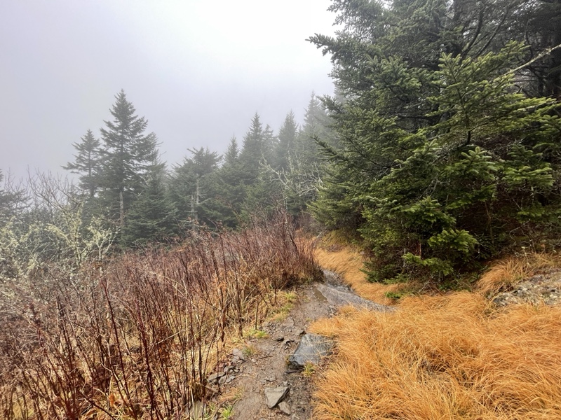
Happy got there a little before I left again, and I set off into the rain once more, shoes and socked fully soaked in the wet grasses and mud puddles hiding under leaves. After just 1.7 miles and a couple small climbs I stopped for a moment at the next shelter and signed the logbook before moving on. It had stopped raining mercifully, but that only helped partially.
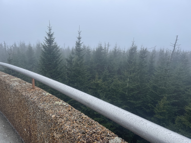
I descended for a few miles, listening to music and podcasts, anything to get my mind off how much the day was taking out of me. Everywhere I looked I was surrounded by a thick white wall of fog. It was oppressive and depressing, and I found myself longing for the day to be over.
When I reached the 2,000 mile marker, I broke down into tears. Both because of what an accomplishment it was, and also because I was hitting it on one of my hardest days on trail. I tried to stand there and enjoy it, but biting flies kept landing on me so I had to move on after only a minute or two.
I also vividly recalled when I’d hit my 1,000 miles, and how tough of a day that had been. It was the day after Catchup and Sunshine had left me so unexpectedly and I was alone for the first time in hundreds of miles. It was hard to wrap my mind around 2,000 miles now traveled and how much that signified, but I knew it was a huge milestone even if it wasn’t happening at the very best time.
The sun finally almost made an appearance just a bit after that, and the clouds parted here and there momentarily, affording me very slight views of mountains in the distance. It was better than nothing, but soon the fog descended once more.
After another half a mile, I sat on a log next to the trail, downing snacks and water, trying to decide what to do with the rest of my day. The flip flop group I was around were planning on finishing the 19th, where there would be a big cookout afterwards. I’d been invited if I finished then, and had been leaning toward doing that.
It was also five days before Thanksgiving, so that would give me time to get back up to Hot Springs for Hiker Thanksgiving, thrown by Miss Janet every year, and which I’d always wanted to attend. It was the 7th, so I had roughly 200 miles to cover in 12 days, and if I fell behind I didn’t think I was likely to catch up.
I didn’t want to hike anyone else’s hike, and still considered myself solo, but I did enjoy being around the group and not having to plan everything myself. However, I still had another nearly 12 miles to go to finish the day, and it was already after 3PM.
There was another shelter just 2.6 miles ahead, and I figured I could stay there if I needed to and hike a marathon the next day to get to town as planned. Happy had booked a room at The Hike Inn, and I saw in the guide that it was cheaper if two people shared a room.
I would get to the next shelter with around an hour of daylight to spare, could go to bed very early, and wake up refreshed. I thought it was time to call it on the day and cut my losses. Decision made, after donning my pack once more I headed back out into the dreary day.
Somehow knowing I didn’t have much farther to go gave me all sorts of energy I didn’t have previously, and I was soon making good time again as I rode the bumps of the ridge. Now that my spirits had lifted, I began to reconsider if maybe I could finish the day after all. It would require night hiking, but Happy and I had agreed we would do it together if needed.
I figured I’d hit the shelter and make dinner right away, that way I could either stay for the night or hike out after. I didn’t think there was any way we could make it to camp before 9PM, and I definitely didn’t want to cook after that. Spice had told us she’d had dinner at sunset before hiking in late the other night, and that seemed to be the move to me.
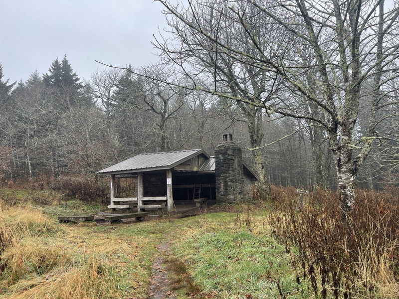
I made it to Derrick Knob Shelter by just after 4:00, and met a hiker there who pointed me to the water source. I’d heard of this shelter before, when I’d met Trouble, a NOBO, in Pennsylvania. The name of her trail family was the Derrick Knob 9 if I remembered right, and it was nice to finally see the place.
It was a typical Smokies shelter, with a skylight, two levels of sleeping, and an eating area at the end of the overhang. As I cooked my Annie’s mac n cheese, the hiker I’d met told me how he’d started at Springer recently and was trying to thru hike in sections within a calendar year.
When Happy showed up my food was ready, and she asked me if I still wanted to night hike to camp. I asked her if she did, but Happy retorted that she’d asked me first. That was fair, and I told her I would if she would, adding on I’d like to split the room with her tomorrow night if she was in.
Happy was, but she did mention the woman running the Inn didn’t drive after dark, which more or less put a kibosh on me hiking a marathon, because I wouldn’t be able to do that before dark. We decided to go for it, finished dinner, and were ready to hike out at 5:10, 9 more miles to go.
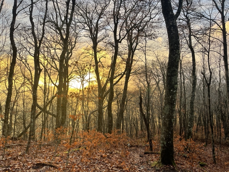
We still had about an hour of daylight, and we set off, watching a beautiful sunset through the trees now that the clouds had finally decided to clear out. We made it up and over the first hill and almost up the very steep second one before we donned our headlamps.
We had been talking away, getting to know each other and our motivations for hiking the trail. Happy had grown up near Worcester, MA and had gone to the same college as me, Westfield State, graduating right before starting her thru hike this year, so we had plenty in common to talk about.
Those first couple miles flew by, and we traversed a couple small ups and downs before starting on our last big climb of the day up to Thunderhead Mountain. We alternated who went first as we hiked, as going second was usually more enjoyable, because the one in back had the benefit of two lights to work with.
It became more cloudy and foggy as we ascended, mist swirling and breezing by in front of us, obscuring our vision and reflecting the light of our headlamps back into our eyes. After the steep climb we walked through a rhododendron tunnel, empty sky above our heads.
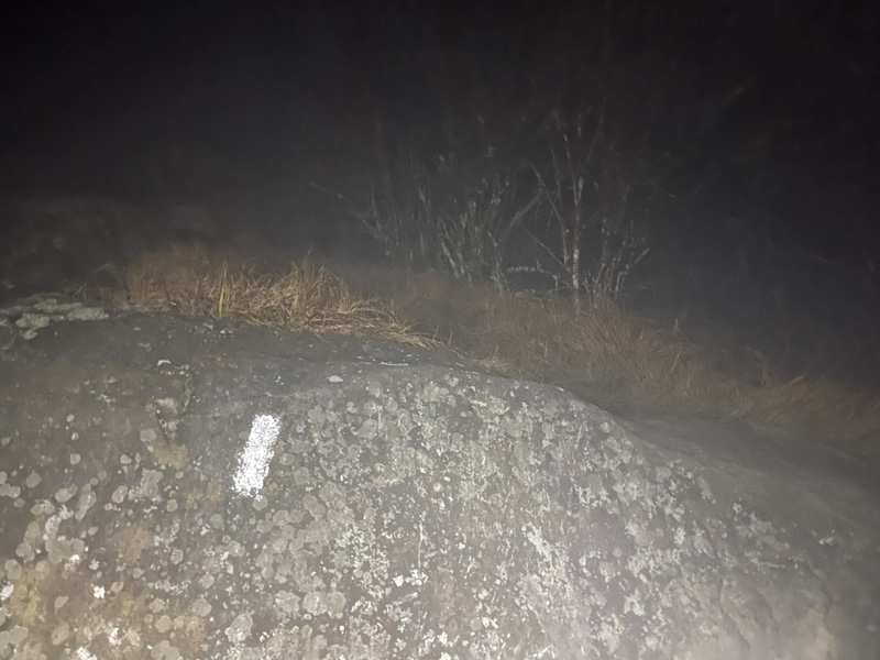
We continued on down the ridge for another mile and half, passing places where we were sure there were beautiful views in good weather, but for now could only see vast empty spaces around us. On Rocky Top, we stopped for a snack and water break for just a few minutes, wind and fog swirling around us, wishing for the views we knew would be there on a clear day.
After a very steep descent, one small hill, and green eyes on a small creature that bounded away when it saw us coming, we passed the sign for Spence Field Shelter, .2 off trail. We’d find out later Flamingo spent the night there, but we kept going, excited to only have 3 miles left.
It was a long 3 miles, however. It was close to 8:00 by then, though it felt so much later. We both lapsed into our own silence, going to that place where hikers go on their last few miles of a long day, part zoned out autopilot, part sheer determination.
Fortunately, those last few miles were a very gentle downhill, making things easier. The leaves were still wet and slippery, though, and increased as we lowered in elevation. The moon was full, hiding behind clouds that were slowly becoming less dense as we kept going.
We saw an enormous city through the trees, and wondered aloud if it was Gatlinburg or another place. The lights were bright and vast, and we could see it from the ridge for quite a while.
Suddenly, an animal moved through the trees next to me, startling me into a shout and a run, almost colliding hard with Happy, who’d stood her ground. She thought it was a bobcat, and both our adrenaline was pumping for the next half mile or so, which certainly helped our pace.
Finally, we saw bear cables and a tent, and knew we’d arrived at the shelter. We switched to red lights on our headlamps, high fiving quietly, so happy to be done hiking. It was just after 9PM, and we’d done it.
The clouds had dispersed greatly, and a large clearing in front of the shelter was full of moonlight, stars beginning to pop out here and there overhead. As quietly as we could, we changed into sleep clothes and set up our beds on the loft of the shelter, where only one other person was, though our friends were on the bottom section of the shelter. I said a whispered hi to Looseleaf, who was still up reading his Kindle.
Taking off my soaking wet socks and shoes had felt better than almost anything else all day. It had been such a difficult day, so rainy, wet, foggy, slippery, and slow. I’d dug deep, though, pushed past the wall and accomplished something I was really proud of. I was so grateful for Happy being there, because I don’t think I would have attempted those last 9 miles alone. I finally laid down at 10:00, more than ready to sleep the day away.