
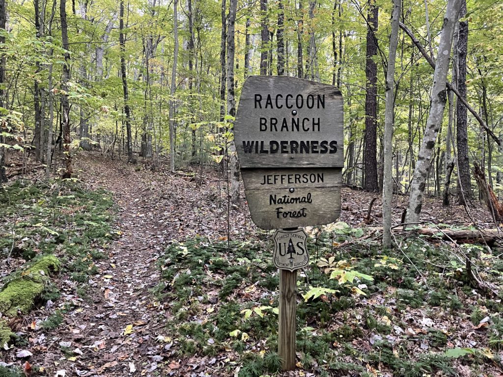
Trimpi Shelter 1668.8 to Grayson Highlands State Park 1691.6 (22.8 miles, 1691.6 total miles)
Both Slice’s alarm and mine went off at 6, and I snoozed a couple times while Slice starting poking around the fireplace, lighting the morning fire she’d been talking about the night before.
The shelter had been very cozy falling asleep with it, and the renewed fire made for a lovely morning. When I took a walk over to the privy, I realized just how cold it was outside of the shelter.
Sprouts left first, then Slice, followed by White Walker. I gave White Walker a head start of a couple minutes before following, not wanting to tempt myself to try to hike competitively.
It was 8AM when I hiked out, a nice early start for the 20 mile day Slice, White Walker, and I had planned. It started with a climb, warming me up, which was necessary because I was only wearing my hiking clothes and rain jacket.
The day was rather overcast and chilly, and I watched the sky hoping it wasn’t about to rain. I passed Sprouts after she’d delayered, saying bye for now because she was doing a shorter day than me.
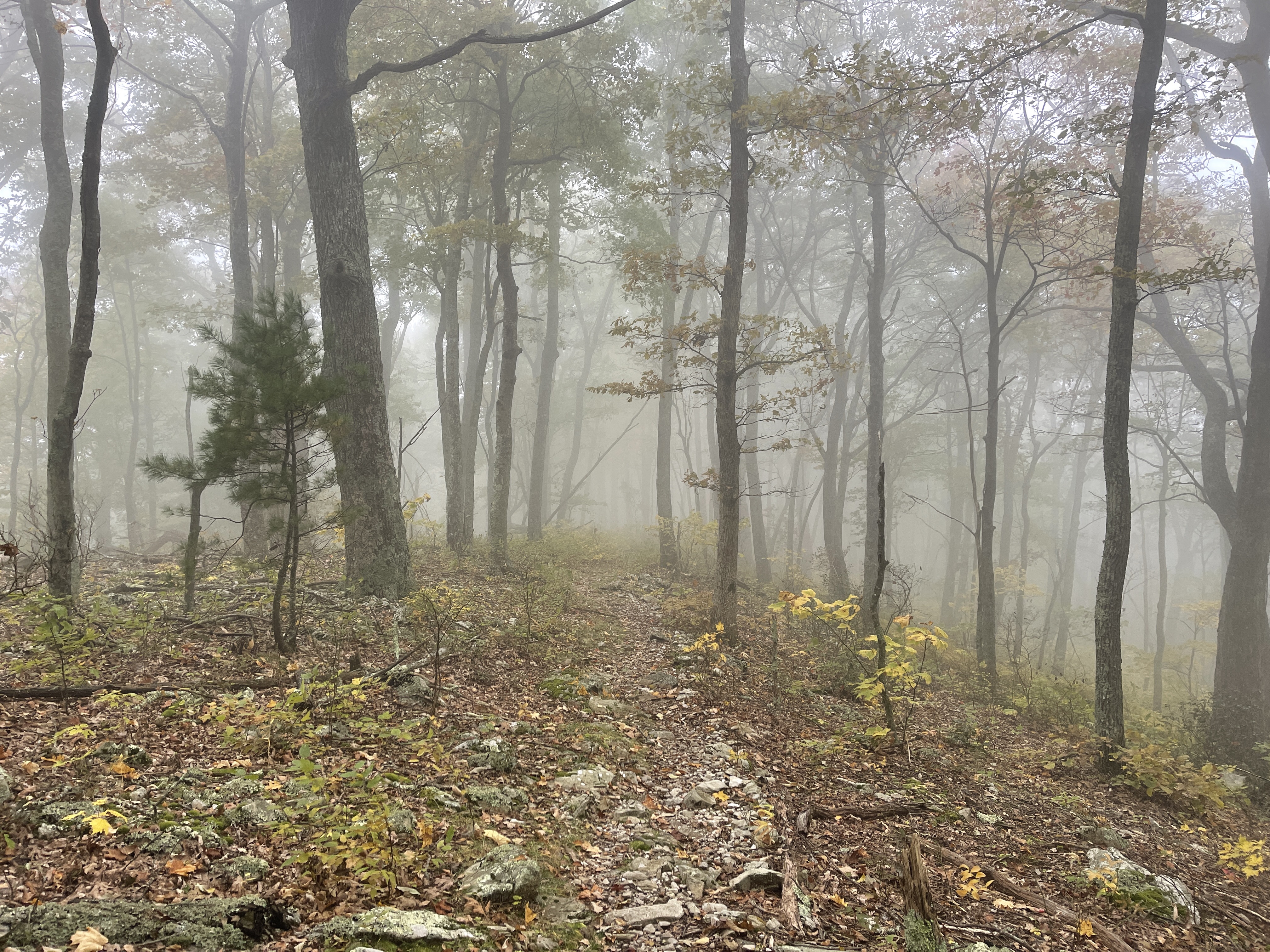
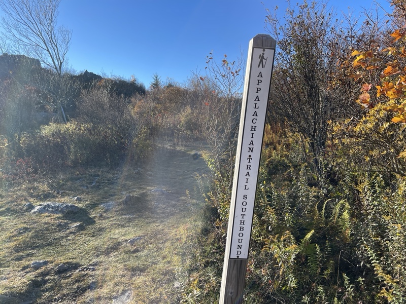
Up on the top of the ridge, I walked into quite a bit of fog, passing by a couple section hikers. I’d noticed there were quite a few since Partnership, and figured it was due to the proximity to the Grayson Highlands.
I descended gently for a few miles, entertaining myself by turning my day into a video game in my head, marking off levels when the trail changed enough that I noticed it, whether foliage, terrain, or a new goal.
When I saw twenty or so cars parked at a lot a mile and a half from Comers Creek Falls, it clicked that today was the Saturday of Columbus Day Weekend, explaining why I was seeing so many people.
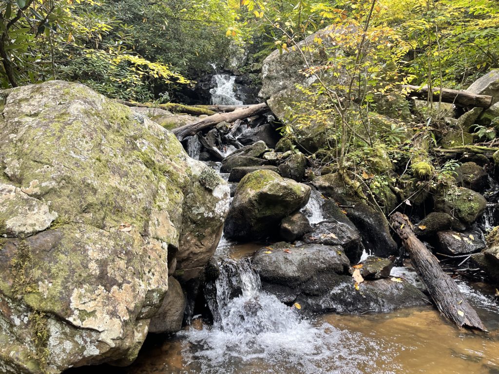
I crossed the road and hiked into rhododendrons, but not seeing anyone on the trail or at the falls when I arrived a few minutes before 10AM.
I perched on a rock at the bottom of the falls, admiring the water, listening to it rush over the rocks. I spent several minutes meditating there, appreciating my hike and the growth it has provided me.
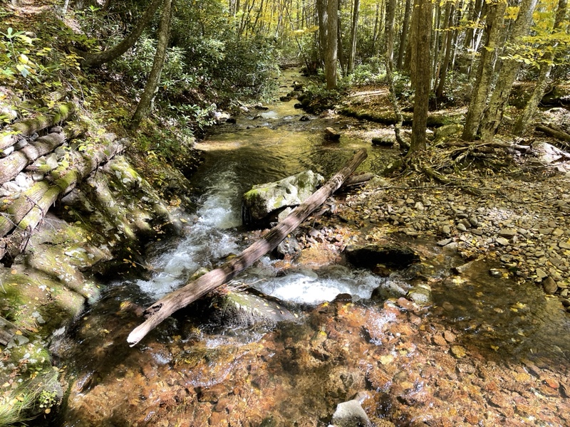
I had a couple snacks as I moved on over a few small ups and downs through the forest, crossing several lovely flowing water sources. Eventually I stopped for a minute at the base of the next mountain to remove my rain jacket and put on Harry Potter.
I climbed a bit of a steep grade for a mile and a half, hurrying along because I’d seen another hiker coming up behind me, whose well trimmed beard told me he was probably a section hiker.
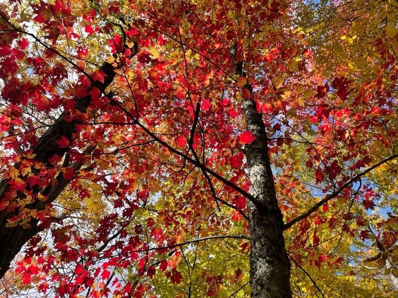
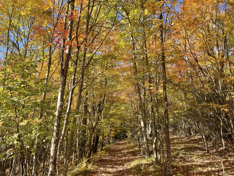
I stopped to talk to a couple LASHers for a couple minutes and answer a few questions about my hike before continuing the climb, loving how it was warming me up as I moved through the color changing forest.
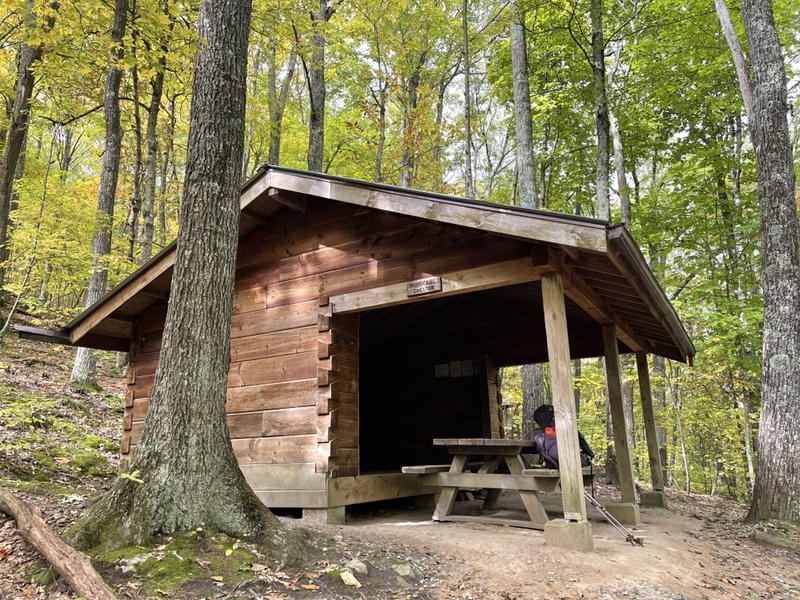
Slice was huddled in Hurricane Mountain Shelter hiding from the wind when I got there at 11:30, 9 miles in. I was going to have lunch there, but Slice said she was going 5 more miles to the next shelter for lunch. After she left, I decided to as well, hoping it would be warmer by then.
I continued up the incline, toward the Virginia Highlands, marveling that I was able to hike through a new part of Virginia, after already having hiked the other 500 or so miles of the state twice.
The rest of the climb was much more gradual, and led to a relaxed 2 mile descent, where I found Slice stopped, speaking with a group of six section hikers having lunch next to the trail.
I stopped as well, eating a package of Wheat Thins one of the hikers gave me, as Slice and I answered their questions about our base weight, resupplies, and what we thought the hardest part of the trail was (she said the Whites, I said southern Maine).
I hiked on with Slice, as we told each other about previous pets we’d had, jobs, and schools we’d gone to. I told her about Peanut, the bird Pockets and I had that died at Trail Days, who we’d buried in the Grayson Highlands.
I told her how I was hoping to find the tree we’d buried him under when I hiked through, but wasn’t sure if it would actually be feasible.
We passed Fox Creek, which was quite pretty, lamenting that it was too cold for swimming holes for the rest of the year. We crossed Route 603 with another busy parking lot, then ascended a couple easy miles to Old Orchard Shelter.
The sun was now fully out, though the shelter was in a shady grove. White Walker was on his way out when we arrived, and I quickly put on my rain coat again as I started to cool down.
I spent half an hour chatting with Slice, eating snacks for lunch, and collecting a liter of water down a side trail. It was early, only 1:30 when we arrived, both of us surprised how fast the day was passing.
It was only 6 miles to the shelter we were going to stop at, but Slice said Rudolph had told her that a few of them were camped just outside the Grayson Highlands State Park, having a campfire and she was invited.
Apparently the shelter was going to be full of section hikers, and there was no tenting allowed anywhere in the park. I asked her to tell me if they’d have enough room for me as well, thinking it would add a couple miles onto our day, which i thought would be good since it was so early.
I had plenty of energy today after hiking a short day yesterday, and wanted to see if I could shorten my day going into Damascus. She said she’d text me when she heard before I left at 2:00, needing to get moving again and warm back up.
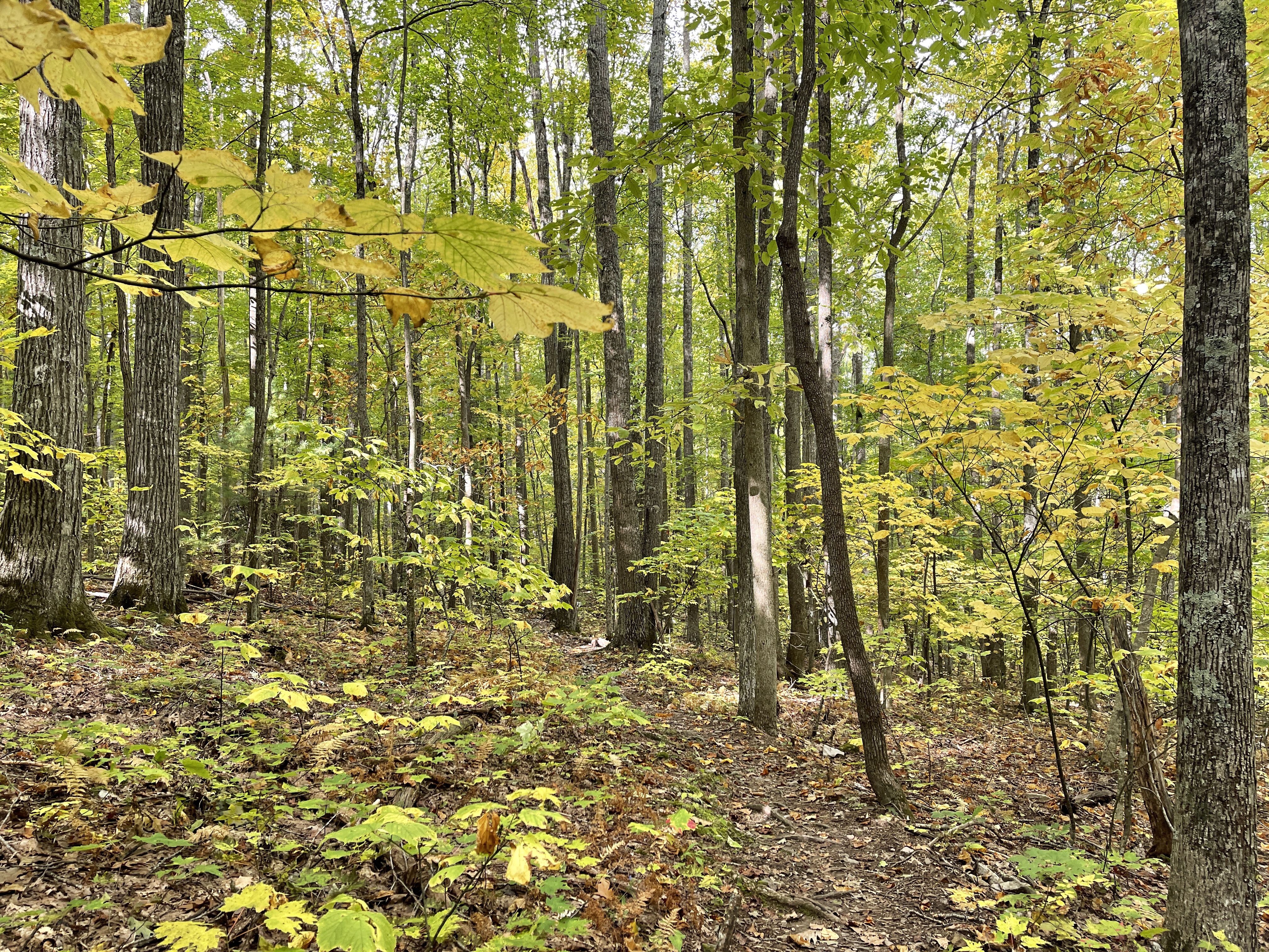
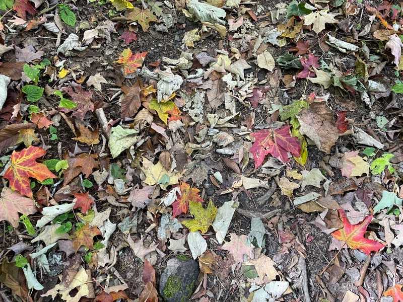
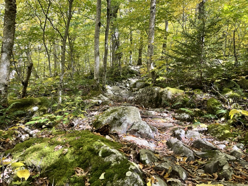
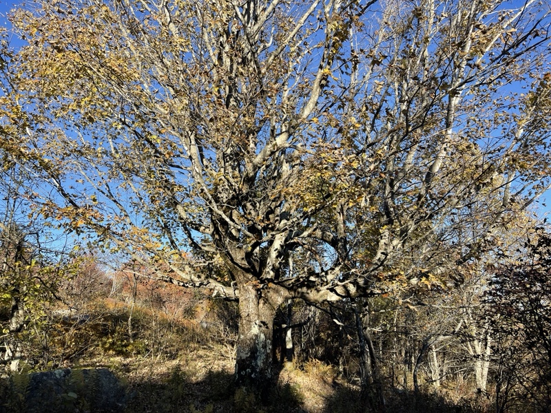
A couple more miles took me up through a gorgeous forest with mossy rocks, deep green ferns, yellow and orange covered trees, and dozens of section and day hikers to step off trail for.
I stopped to remove my coat again, relishing the brief moments I was hiking through sunshine. I’d been shocked to realize we were at 4,000 feet at lunch, and by the time I was done climbing had reached 5,000 feet at Pine Mountain, heights I couldn’t remember being at since Katahdin.
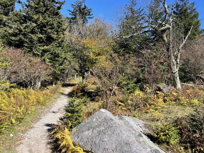
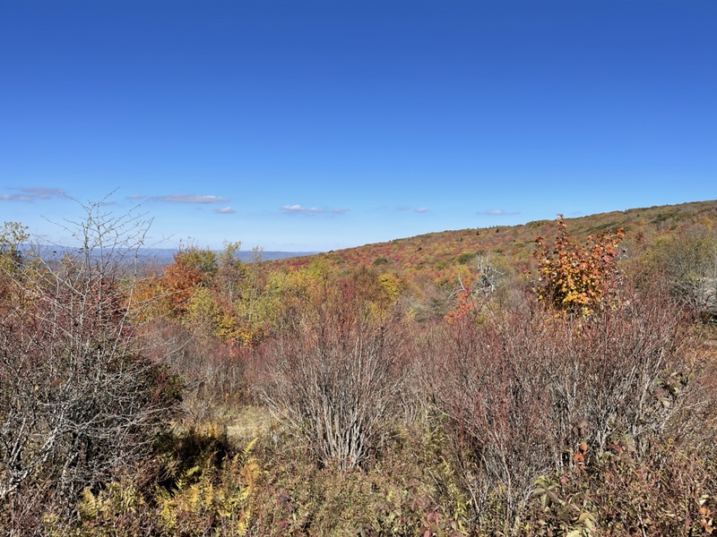
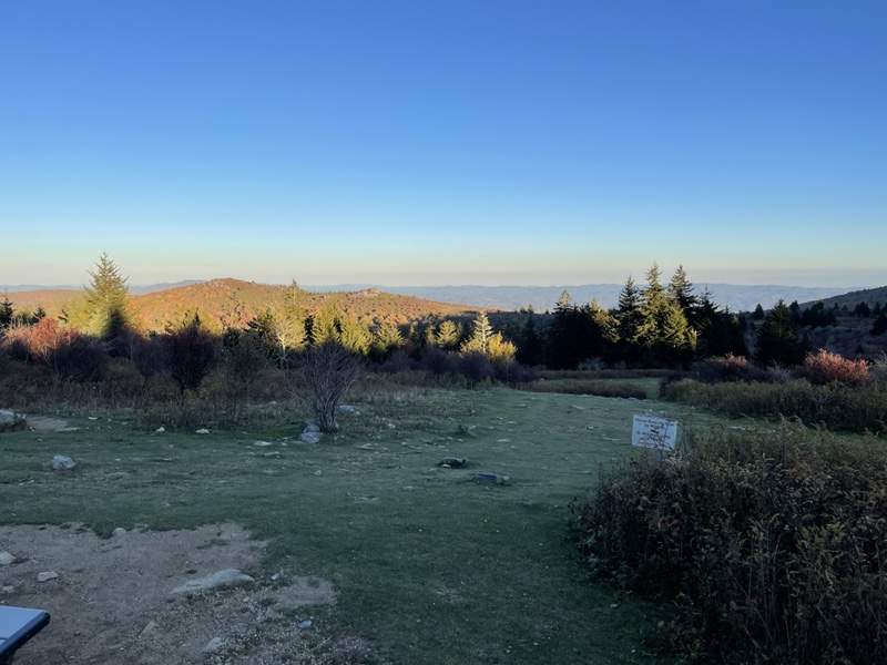
I descended a mile and a half to The Scales, a horse corral in an open meadow. There were beautiful views of the mountains and meadows around, scattered orange glowing from the trees.
There were many car campers set up, a couple with campfires already going. I stopped to use the privy there, then sat in the bright sunshine for about 20 minutes, catching up on texts I’d missed.
Continuing on, I heard from Slice that they were staying 3 miles past the shelter, and I was welcome to come join and have a sleepover in her tent or they could rearrange the tents there.
I was good with a sleepover, as she had the same two person tent as me, and we were expecting our first night at freezing temperatures, so the extra warmth would be welcome for both of us.
I’d hiked another mile by then, through a sunny, grassy ridge that warmed me nicely. The descending next couple miles took me alternately through the forest and back into open land.
I stopped at Wise Shelter, where White Walker was getting ready to start a fire. I told him the change of plans, and he decided to wait for Slice to get more info if there would be room for him to join.
After a few minutes and another snack, I kept going, less than 3 miles to the tent spot. The day had felt extremely easy for some reason, though it had been mostly climbing.
I crunched over leaves and past water sources, before entering Wilburn Ridge, where the wild ponies of Grayson roamed.
I didn’t have enough service to get map directions to where the GPS coordinates I’d pulled from Google Photos told me I could find Peanut’s final resting place, so I thought I would have to try to find it again one day by car.
Yet when I arrived at a familiar looking trail junction, I had an intuitive feeling I was close. We’d driven and hiked a blue blaze to bury Peanut, then hiked a little on the AT as well, but I’d never hiked through here on a thru before.
I pulled out Far Out, and compared the coordinates I was at to the ones I’d saved in my phone notes for this occasion. I saw the coordinates were very close.
I walked along the blue blaze, wondering if they’d update in real time. To my surprise, they did. I walked a quarter mile or so, watching them tick closer and closer.
Finally, I arrived where the coordinates seemed to match, but the trees looked small to me. I kept walking, when I saw a very large tree with distinctively bent roots.
I found a photo to compare, and realized I’d done it. I’d found the spot. Overjoyed, I took off my sunglasses, removed my earbuds and my pack.
I sat right in the grass at the base of the tree, meditating, talking to Peanut and Frankie (who’d been there for the whole thing), soaking in the moment, so happy I’d found it.
I’d wanted to visit this spot again for six years, and really wasn’t sure if I could find it on this hike. It was such a special moment. I even meditated with the buckeye I’d been given at Woods Hole and left it at the base of the tree, an offering to Peanut.
I spent quite a while there, and hiked away at 6:00, with 1.3 miles to go. I was very cold as I got moving again, once more wearing my coat. Back on the AT, I hiked straight into the sun, which was warm but fully blinded me for most of the time.
When I could see again and make sure I was on the right trail, I passed people having photo shoots and hiking toward the parking lot. I saw a couple ponies, but there had been many more the last time I’d been through the area.
As I was collecting water .3 before the site, White Walker and Slice texted me, concerned I hadn’t shown up yet. I told them I was almost there, and arrived at camp just after 6:30.
In addition to White Walker and Slice, there was Rudolph, Hippy Gandalf, and a couple of Rudolph’s friends. The fire was warm when it was fully started, and Slice and I got everything set up in her tent.
We ate dinner by the fire, happy to have the warmth and good company. I had a couple packets of ramen, marveling at how easy today had felt.
It was intensely cold, though, and it was going to be my first night on trail at freezing temps on either hike. We were all going to sleep with our batteries, phones, and water filters in our sleeping bags to keep them safe. It didn’t help that we were at 5,000 feet, but it would be a new adventure for sure.