
Jenkins Shelter 1612.6 Knot Maul Branch Shelter 1632.7 (20.1 miles, 1632.7 total miles)
I had set my alarm for 6:50 this morning, naturally waking up a couple minutes before it went off. I’d been a bit chilly all night, making a note to myself to order a new quilt strap today.
I knew the others were planning on a lazy morning in camp, and I was feeling a bit the same, so I made a cup of coffee with a hot chocolate, and changed into my hiking clothes under my warm layers.
I sat in my tent sipping my coffee, and said bye to White Walker when he headed out around 8AM. I didn’t have service so I went through old photos on my phone, deleting what was no longer relevant and reading screenshots I’d taken.
While I was finishing packing up Quasar ran over to see me when Iroh let him off his leash, and he spent quite a while running around my legs and jumping around.
I hung out with Iroh, Sydney, and KT at the shelter, before KT hiked out a little after 9. I’d been about to hike out, before Iroh asked if they could use my stove.
Since I’d told him not to buy one in Daleville because we had been hiking together, I dug it out of my bag, and hung out for a while longer as he and Syd ate ramen for breakfast.
They were planning to get off trail so Iroh could get a new sleeping bag and warm clothes. He’d needed them for a while, and had a bad night of sleep in the shelter.
He also had a friend joining him in a few days, which would slow him down further, so he was going to need cold weather gear, fully expecting to hike into December.
I was sad we weren’t going to be seeing each other on trail and had stopped hiking together, but I was happy for him that he had so many people who wanted to come all the way out from Texas to be with him on trail. I thought that was quite beautiful.
Iroh and Sydney were, however, planning on hitching up to Damascus to spend a few days there to see Bard and handle travel logistics. Tri Cities Airport was nearby, so Sydney could fly out from there and Jake, Iroh’s friend, could fly in.
After that, Iroh and Jake would return to where he left off at a hostel 10 miles into the day today and keep hiking south. I thought I might be able to catch them while they were still in Damascus if I kept hiking big days, wanting to see Sydney again before she left, and Iroh one more time before I took off.
Tentative plans in place to see each other in a few days, I gave them hugs before leaving, glad we’d had a couple days together to clear the air and make sure we were all good.
I was on trail at 9:45, stopping ten minutes in to change out of my warm layers. As had been my usual method, I had camped at the bottom of a big climb, happy to be able to warm up quickly.
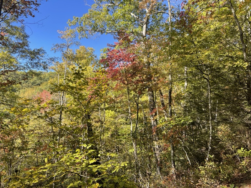
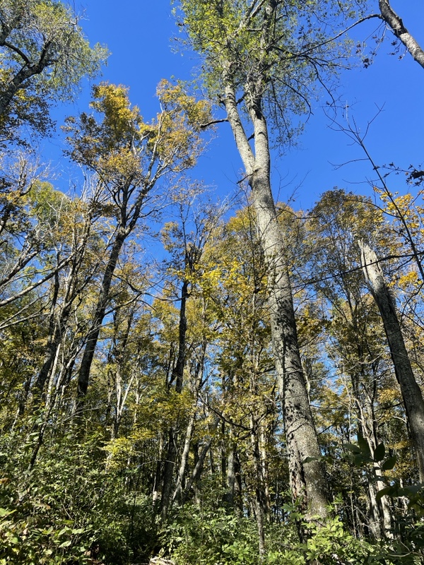
It was 2.77 miles to the ridge, and an elevation gain of 1,700 feet. As I climbed into a day of stunningly blue skies and fall leaves swaying in the wind, I realized I was in for a recovery day.
When I got to the top of the climb, I saw it had taken me an hour and twenty minutes to traverse, which wasn’t terrible, but I was winded. I sat on a rock for a few minutes, feeling my body wanted to go slow today to rebuild my energy.
I knew to listen to it, since I was hoping to hike a marathon tomorrow. Between wanting to get to Damascus to hang with the others, and to catch up to Slice for our planned 30 mile day after Damascus, I didn’t want to burn out by hiking too fast.
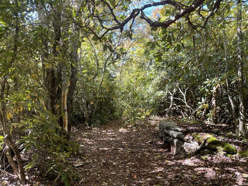
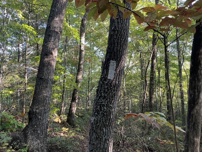
So I took my time as I began to walk along the very bumpy ridge. There were warm, sunny spots here and there, but mostly I was hiking in the chilly wind under tree cover.
One part of the ridge had enormous boulders scattered around the moss covered trees, and deep green ferns that looked healthy compared to many that had turned brown lately.
Some of the climbs felt rather significant, and it was already feeling like more elevation gain than we’d had the day before. I took my time, realizing my mental endurance game needed to kick in to keep myself focused.
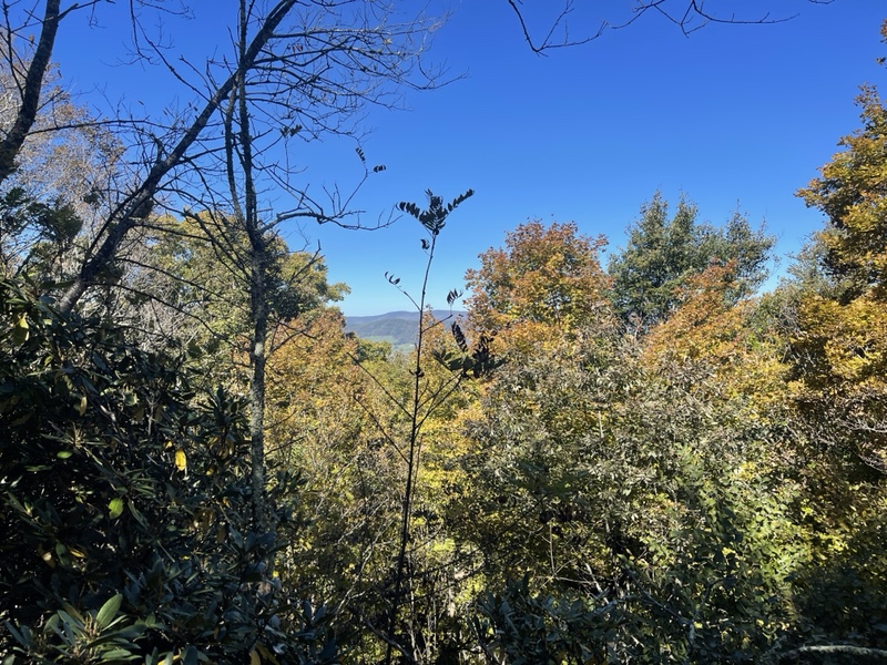
To my right I could catch glimpses into a valley below, full of farmland, minuscule houses, and trees with leaves of varying colors.
In a rhododendron tunnel at the top of one climb, I came upon a little view through the trees to the opposite ridge, where I spent a few minutes thanking the Universe for my hike. I talked to Frankie, and just had a moment to feel how happy I was to be on this journey.
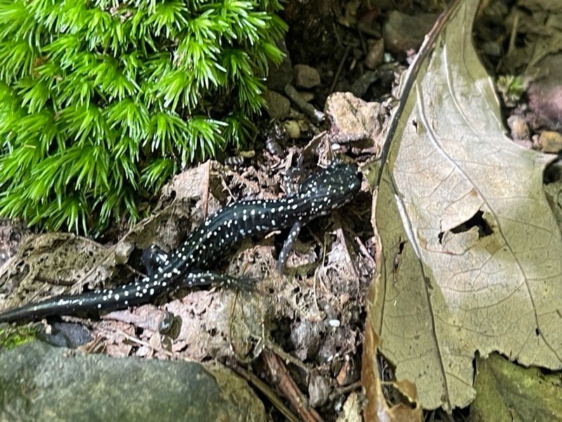
I crossed VA Route 623, 4.5 miles into the day, and saw a few men section hiking that were taking a break there. They were on their last day on trail, and told me about a mama bear and two cubs that they saw the day before.
I was surprised to hear that, not least because I’d had a dream about seeing bears just like that the night before. I saw one of them had a Pottsville, PA hat and when he confirmed that he lived there, I told him how my good friends Ray and Michele did as well, and that I’d stayed with them a couple times during my hike.
They had quite a few questions for me about my hike, which I was happy to answer before moving on. Eventually I descended to Walker Gap, a gravel road right before the ascent to Chestnut Knob.
I’d put on music a mile back, and queued up some jams to get me up the 1.3 mile, 900 foot climb. My lunch break was waiting at the top, and I hiked diligently to get there.
The climb wasn’t as bad as it looked, and was quite beautiful, with yellow leaves overhead, a sky so blue it didn’t seem real, and little flowers here and there that popped with color.
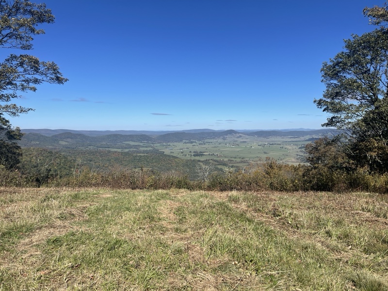
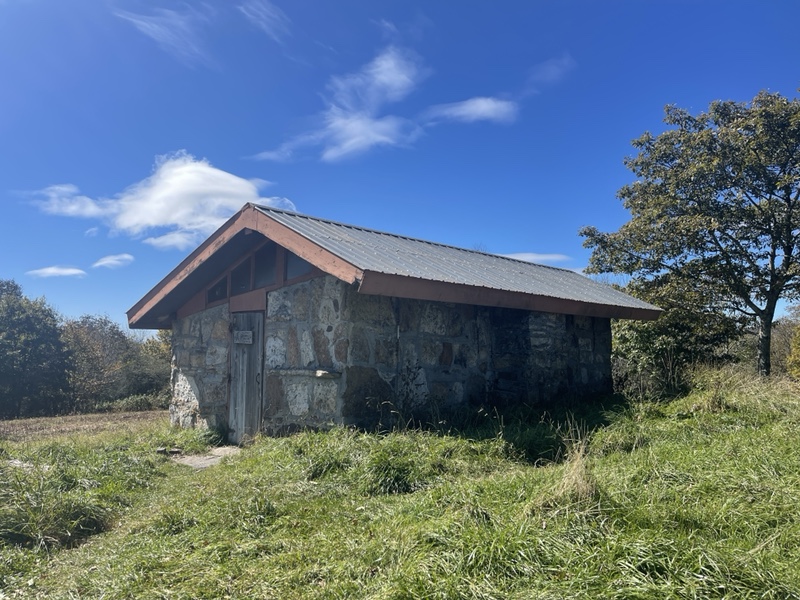
I finally crested the mountain, and saw Chestnut Knob Shelter ahead in a grassy field, an incredible view to my right of Burke’s Garden.
The Garden is an 8 mile by 4 mile crater that was formed by a limestone sinkhole. It is a spectacular bowl of lush greenery surrounded by mountains with only two roads leading out of it.
KT was sitting at the picnic table in front of the very nice shelter. White Walker had left five or so minutes before I arrived. I checked out the shelter, which was an enclosed cabin, and signed the logbook before sitting down with KT to eat.
All I had for lunch food was a cheese and meat stick and a bag of pretzels I’d been carrying since Shrek visited. It didn’t quite hit the spot, but the sun sure felt nice on me.
Slice told me via text that she’d watched sunrise from the shelter that morning, and I could just imagine how amazing it must have been.
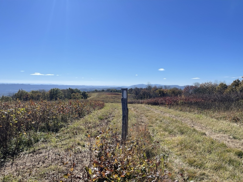
KT left a little before me, and I hiked out after a 45 minute lunch break, at 3:15 with 9.4 to go. The following few miles was an easy descent, and the trail followed a very wide, grassy exposed ridge for a mile or two to start.
The view off the ridge was miles upon miles of classic southern Virginia rippling ridges, with some larger mountains looming in the distance toward where I was hiking.
I played a podcast while loving the sunshine and warmth the ridge brought. I stopped to make a couple phone calls and order my new quilt straps while I had excellent service to do so, knowing I’d regret it if I didn’t take the time, though I didn’t want to slow down further.
My feet were quite uncomfortable between the lack of treads on my shoes and the low cushion socks I was wearing. It frustrated me that all the fun Darn Tough patterns were low cushion, when medium was the most comfortable.
Back in the woods again, I descended steeply this time, though on switchbacks, for 2 more miles toward VA Route 625, where I found a mostly empty water cache and a convenient trash barrel.
Feeling very tired now, I went up and over a small climb toward Lick Creek, where the bridge had been out for years. Fortunately, I was able to rock hop and save the time of fording the creek.
My last big climb of the day was only a mile and 727 feet up, but it was getting quite late and I just wanted to be done with the day. I put on more music, and forced myself to concentrate only on where my feet were going, ignoring all but the most immediate part of the incline.
As I moved from one side of the ridge to the other, I reflected on how my energy levels changed dramatically if I was on the sunny side or the shaded side of the ridge once the sun became low in the sky.
I climbed another mile down, feeling very glad that one was over with. I passed a campsite near a stream with a tent set up next to it and what looked like a section hiker down by the water.
I went a little further and collected two liters to carry up to the shelter after drinking half a liter and eating two snacks. The water source for the shelter was a steep .1 downhill that could be dry, so I thought it was better just to carry it up.
I took off like a rocket up the mile long, gradual incline toward the shelter. I was running out of daylight, and wanted to be done with the day. I zoomed up, unexpectedly catching up to KT, who was also going quite fast.
He let me pass by, and I hiked like my life depended on it, not sure where the power was coming from, but just totally going with it, my legs working like machines to propel me ever forward.
I got to the shelter at 6:50, White Walker sitting down for dinner at the picnic table. I got to work setting up in the shelter, preparing my breakfast for tomorrow, heating up a Knorr side, and getting into warm clothes.
The HKT arrived a bit after me, and we finished the evening with our red lights after it got dark quickly. We discussed our plans for tomorrow, video games, and life on and off trail. They were a couple of good hikers to be around. Tomorrow would be an ambitious day for me, and I hoped I was up to the task.