
Grayson Highlands State Park 1691.6 to Lost Mountain Shelter 1706.4 (14.8 miles, 1706.4 total miles)
It was my first night ever on trail below freezing, but we stayed rather warm with two of us in Slice’s tent. I didn’t sleep well, though, as some personal things had come up for me that had me tossing and turning all night. It also didn’t help that we were perched on quite a downslope.
It felt like I’d only just fully dropped into deep sleep when I heard everyone talking and checking in on each other from their tents. It was 7AM, and the sky had lightened without the sun cresting the opposing mountains yet.
Rudolph’s friend started the fire back up, and though I wanted hot coffee like everyone else, I drank it cold because I was a little behind. The plan was to do either 15 or 21 miles today. I wanted the 21, but we didn’t get moving till 9:00, because it was so cold.
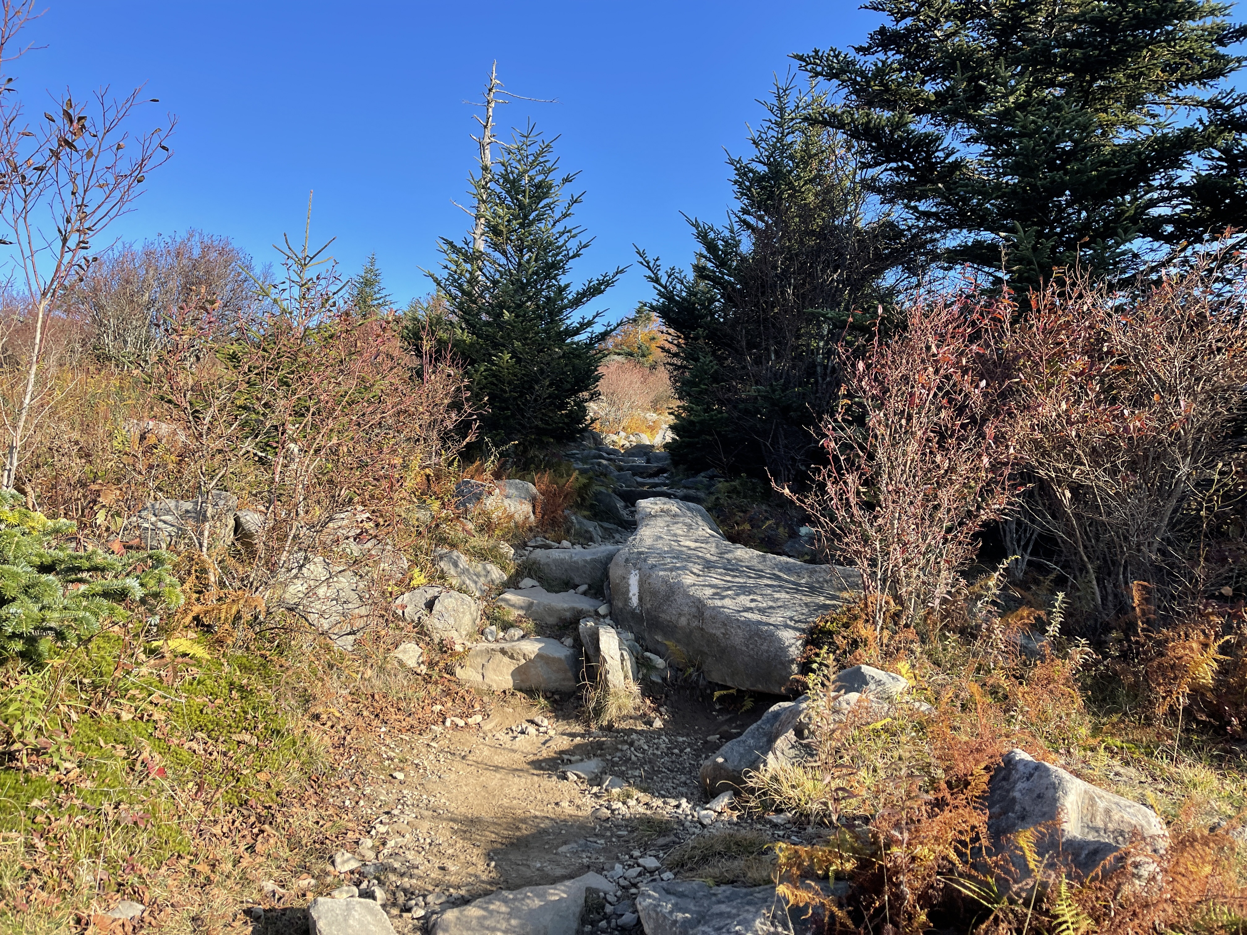
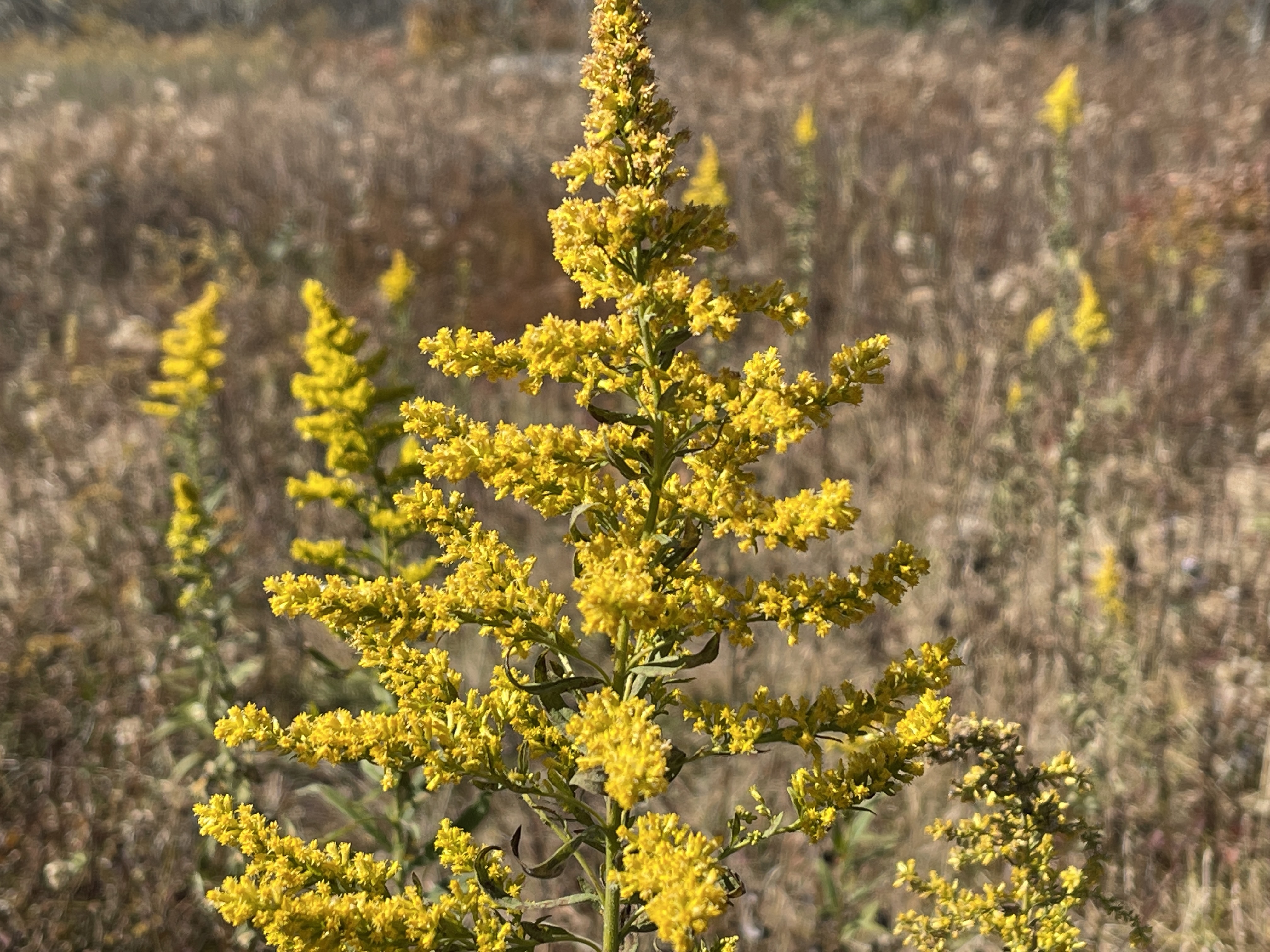
I was layered up as I started hiking, after only White Walker had left before me. We were at 5,000 feet still, traveling over some beautiful open land reminiscent of the White Mountains, with stunted growth and a lot of wind on the ridge.
There was an incline to start, which did warm me up, so I stopped to delayer, and leapfrogged with Hippy Gandalf and White Walker a couple times. I saw several section hikers I recognized from the day before, and a couple of them told me they were completing a 25 mile loop around the park.

There was a lot of stopping to let other people through, and I took a small side trip up a cliff to a beautiful viewpoint. I got to Thomas Knob Shelter to use the privy, where Hippy Gandalf and Slice were doing the same.
We all headed a bit further down trail to the Mount Rogers blue blaze, which was a half mile side trip each way to the highest peak in Virginia. I’d been on the fence about it before, but decided it would be cool to do a little Virginia peakbagging and tag the highest point of the state I’d hiked more miles through than anywhere else.
White Walker had already dropped his pack and gone up and down. I headed up just before Slice, Hippy Gandalf, and Rudolph, and we all hung out at the wooded summit for a few minutes before a large group arrived.
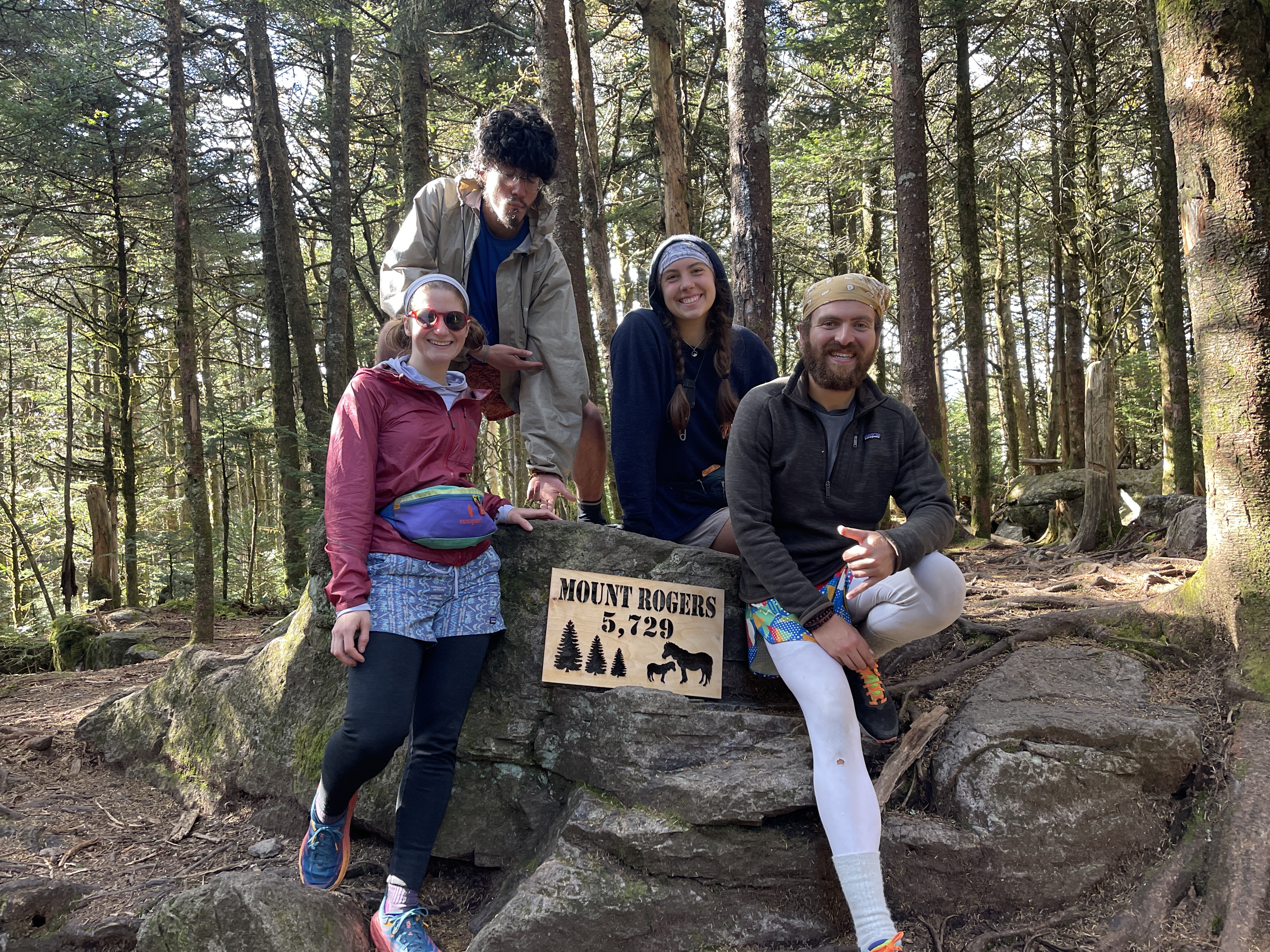
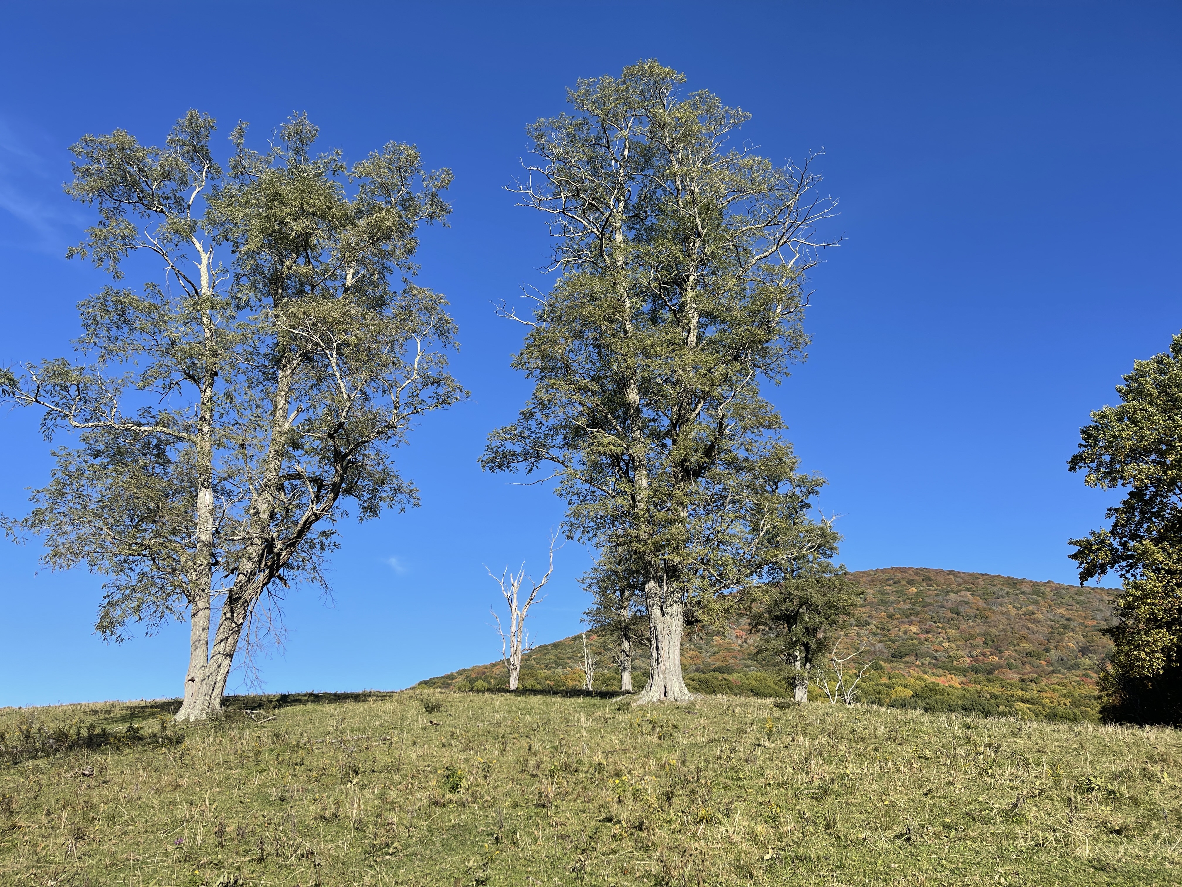
The top of the mountain was a beautiful fir forest that reminded me of being at elevation in Vermont, which was another reason why I’d made the trip, even though it added an extra mile to the day.
We hiked down together, and found White Walker taking a nap in the sun. We all laughed at ourselves when we realized we’d only traveled 2.64 official trail miles by 11:20AM, hopes of the 21 mile day just about dashed.
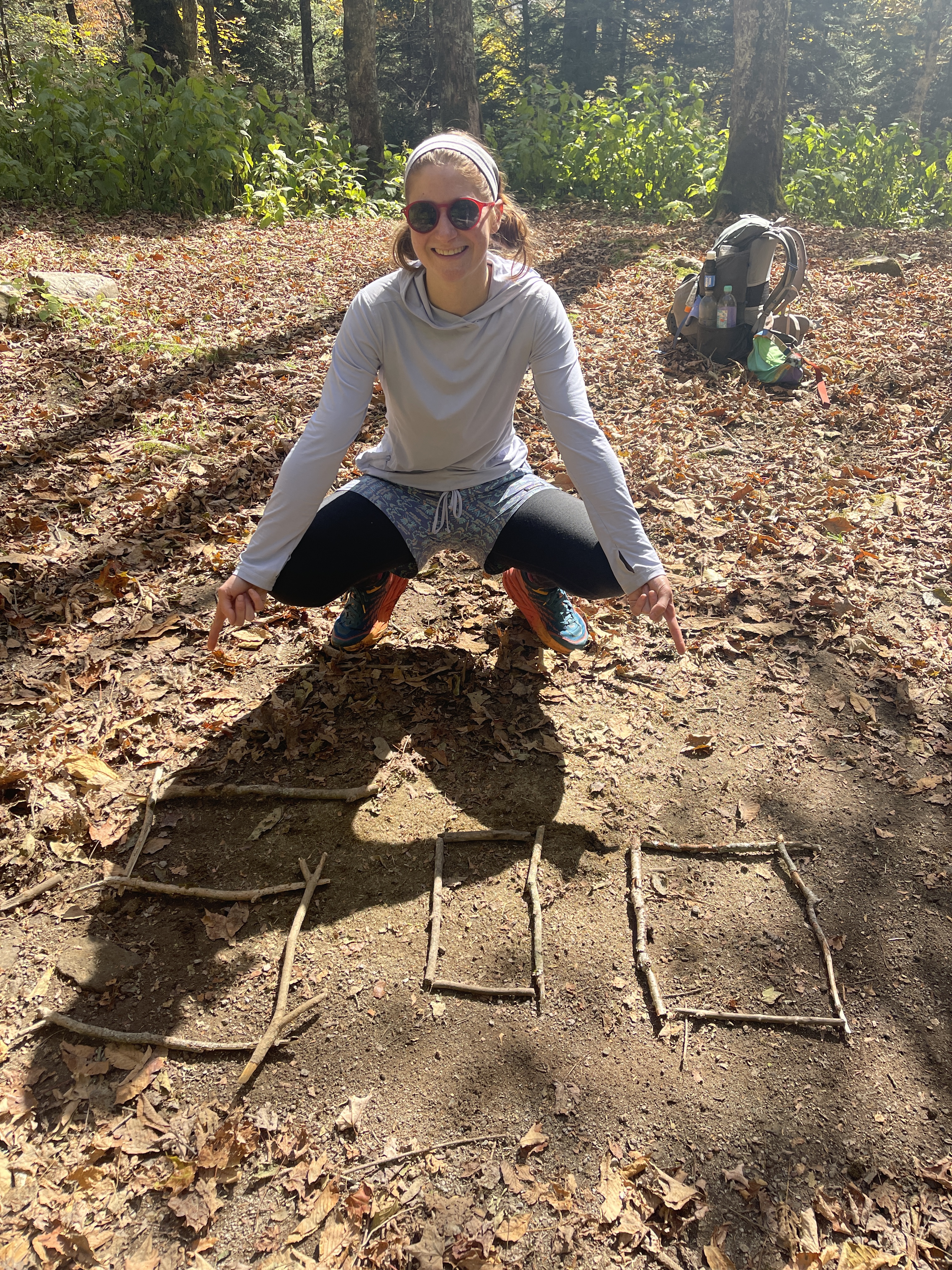
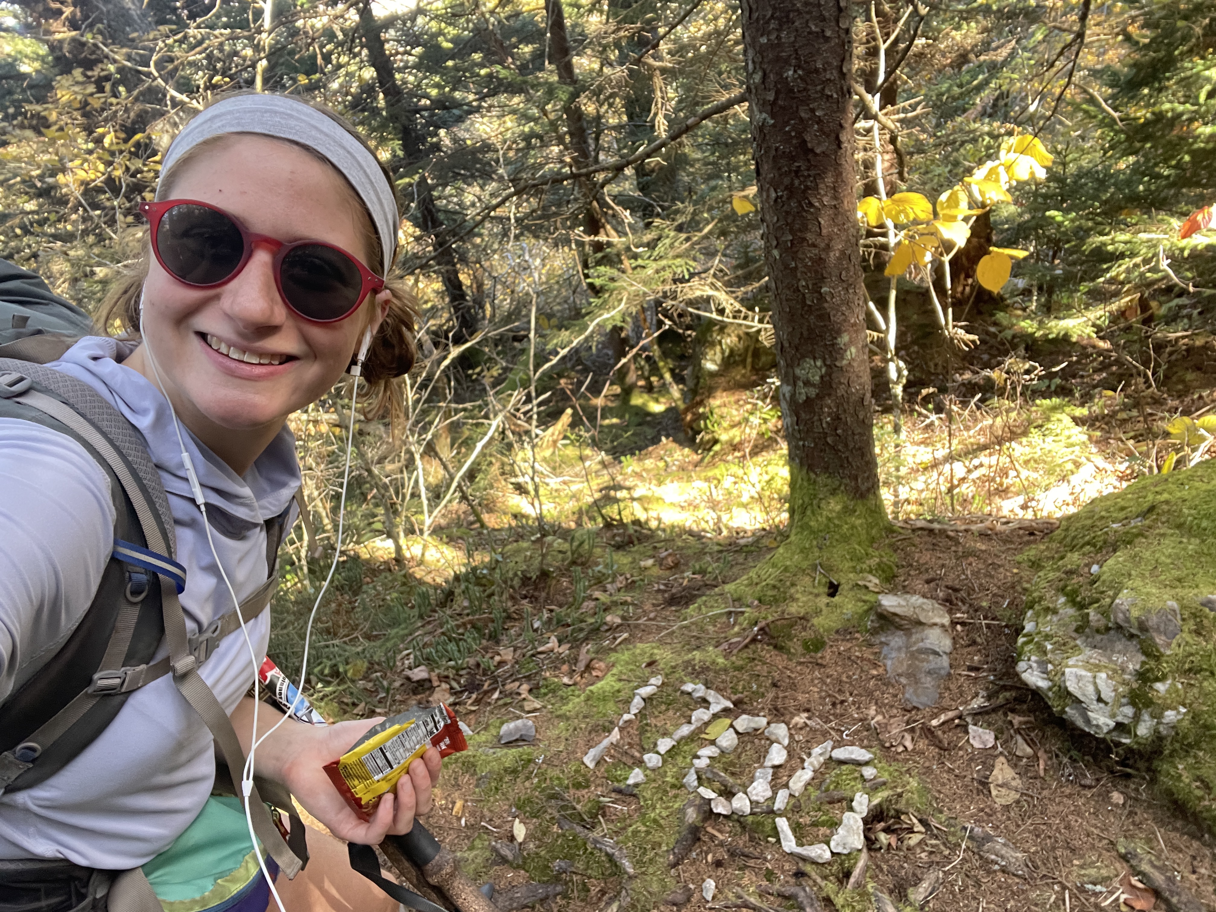
We all continued on, back into the forest looking out for the 500 mile marker that was supposed to be ahead. We soon learned it wasn’t there, so Rudolph and I made a new one out of sticks to celebrate 500 miles left.
I descended down to a gap after shedding my leggings, and found Hippy Gandalf having lunch. While I was chatting with him Slice and Rudolph joined as well, and I left them to it, not ready to break yet.
I descended another couple miles through a gorgeous pasture to Elk Garden trailhead, where I found White Walker hanging out. I used the privy, and afterward a section hiker approached us asking if we wanted a few IPAs as trail magic.
It was a very kind offer, though White Walker doesn’t drink, and I haven’t wanted to recently. We told him our friends probably would, and we saw them coming toward us just a moment later.
They were indeed happy for the beer, and the hiker had exactly three, so it worked out perfectly. I hung out with the others a while, mixing up propel and caffeine and eating snacks for lunch.
Finally it was just Slice and I at 2:00, and I left around then as she wanted to stretch a bit more. I made it up the 2.2 mile incline easily, and it only took 45 minutes. I also passed the 1700 mile marker, a wonderful feeling, especially considering how recently I’d seen 1600.
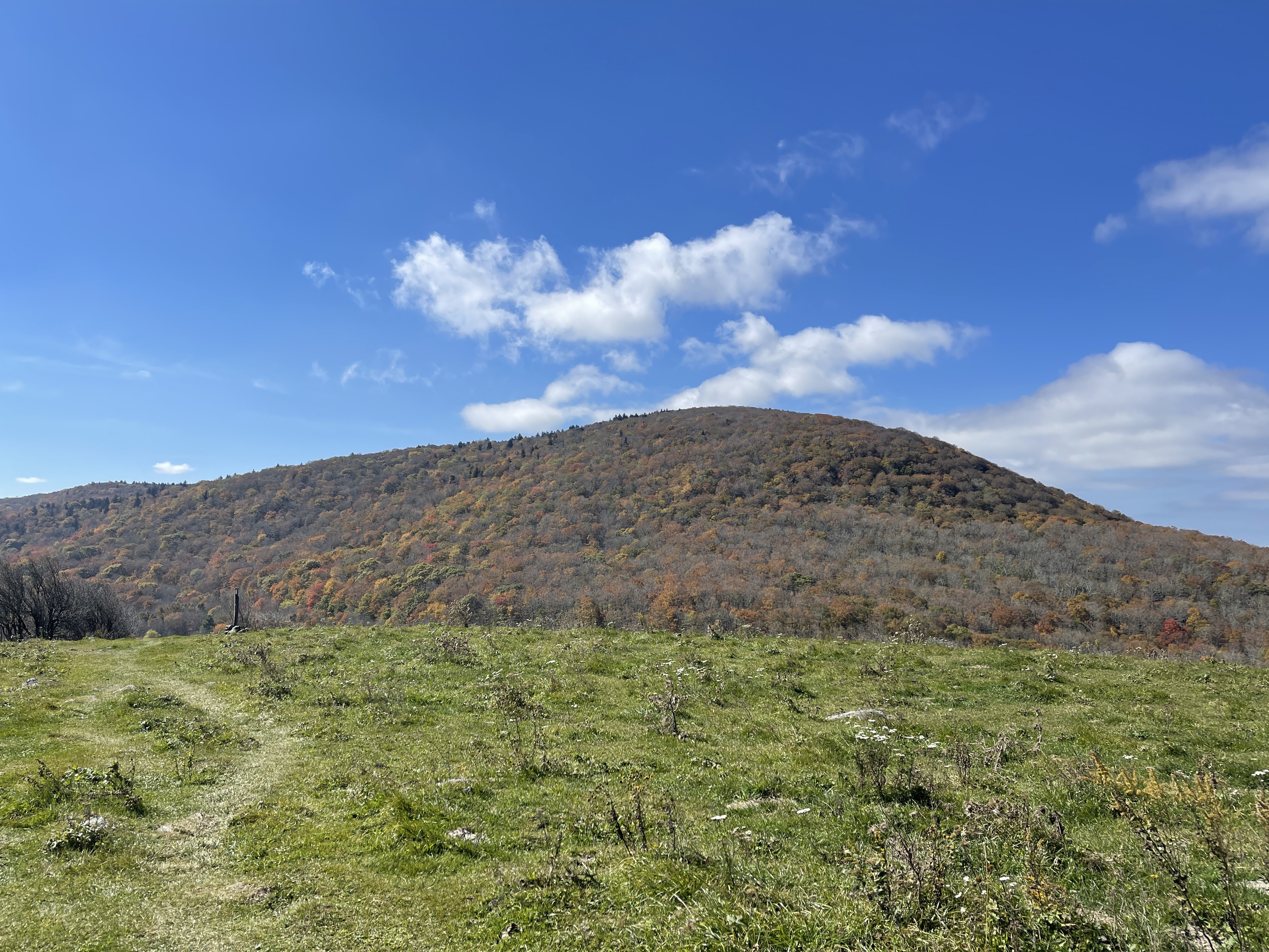
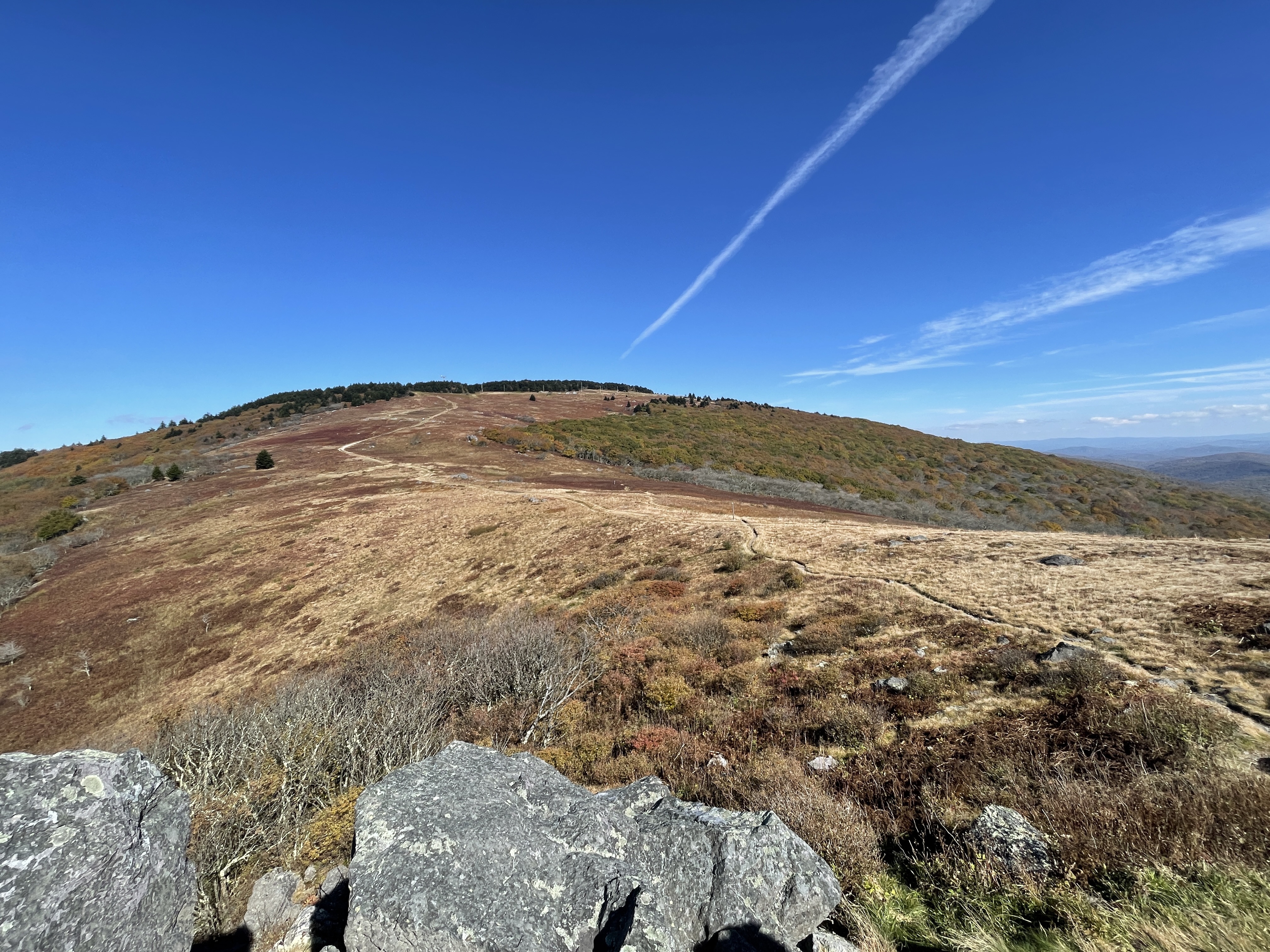
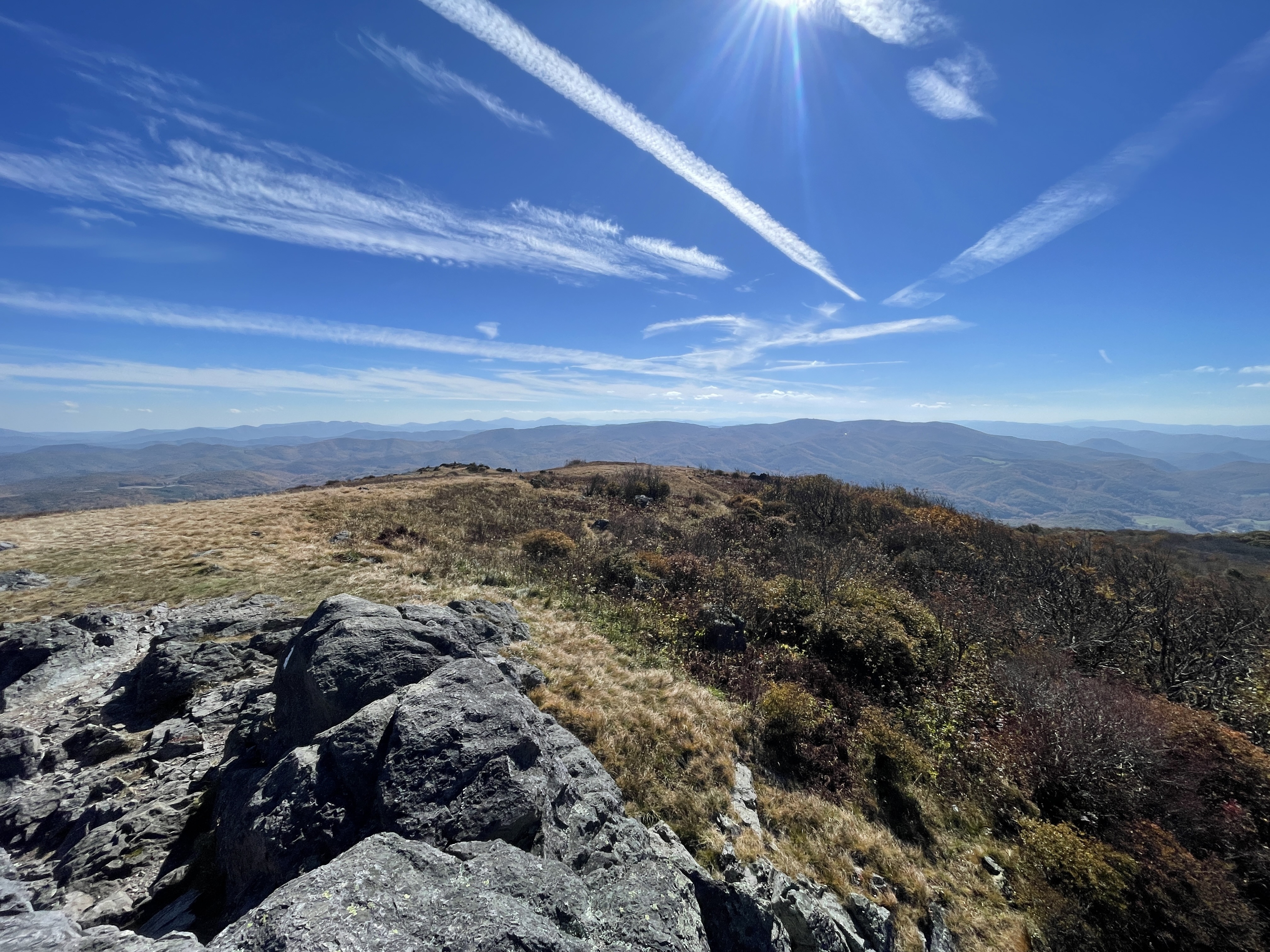
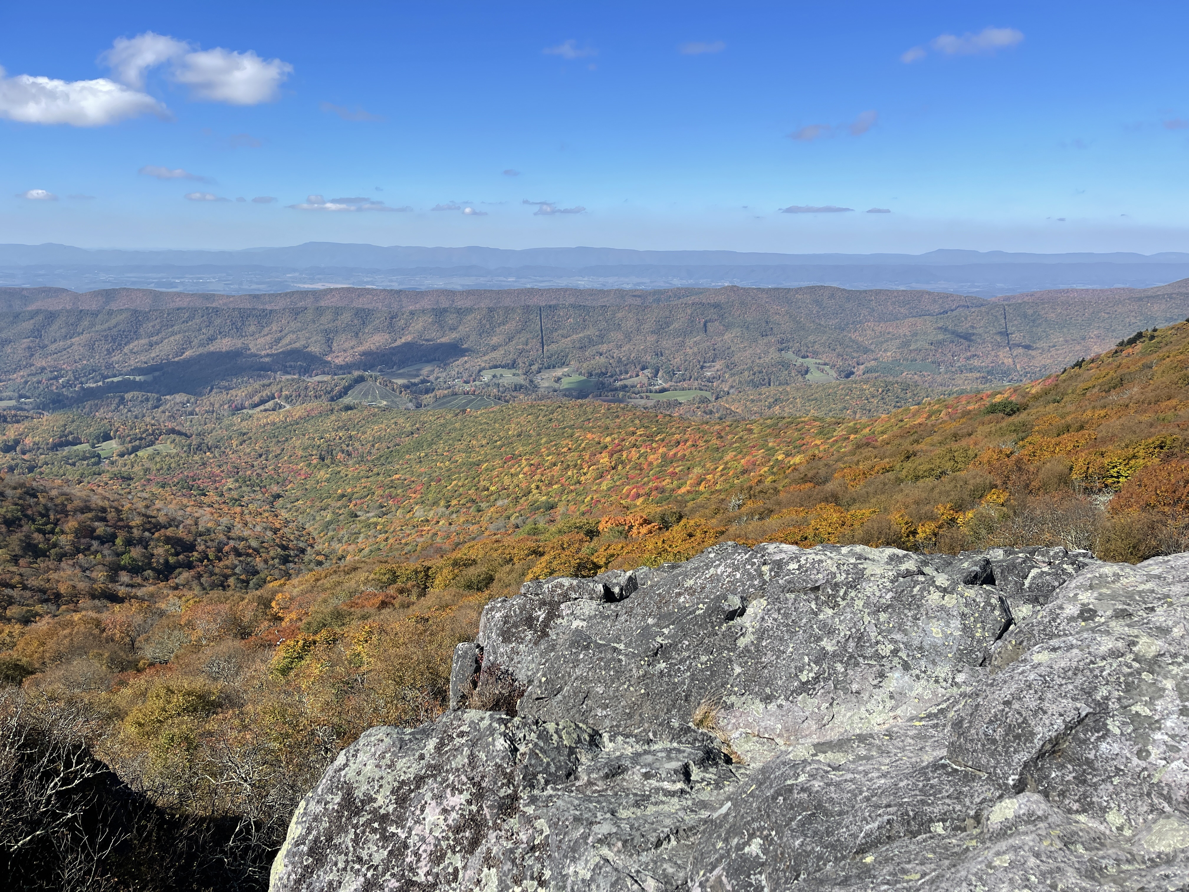
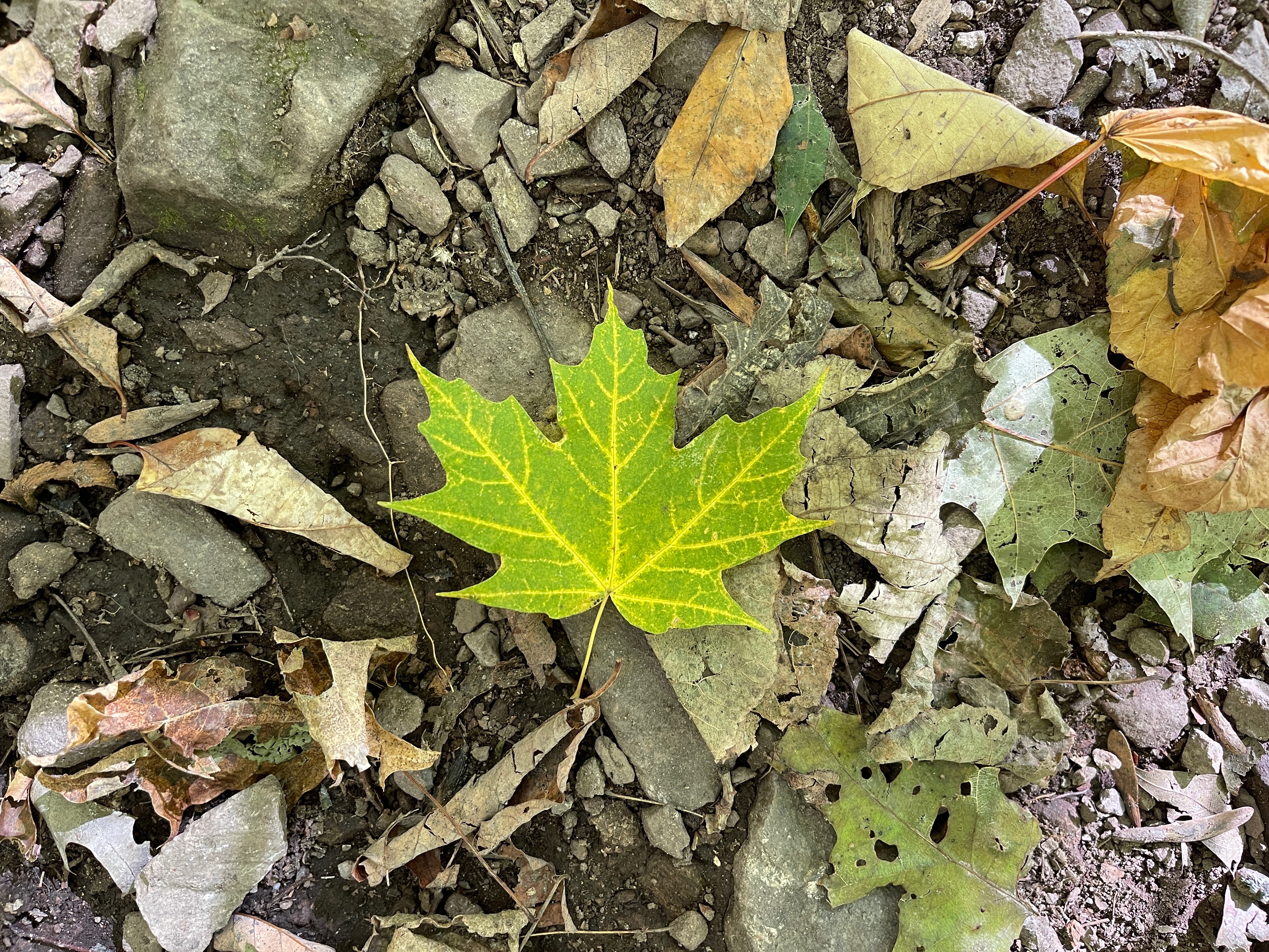
I was feeling really good as I ran the ridge for a couple miles, through a few beautiful open areas full of sun and new foliage. Deep red leaves surrounded the trail, and I thought I could maybe see the Smoky Mountains in the distance from where I was.
I climbed up Buzzard Rocks, which had intensely beautiful views behind and before me of colorful ridges and grasslands, and the enormous ranges looming in the distance beckoning me on.
As I descended down a steep, 4.4 mile descent, I ran into a hiker going the other way who asked if I was Slice, saying he had a message for her from Beer Girl. I told him I wasn’t but she wasn’t far behind, and told him to look for a woman with two braids.
I wondered what the message was, and was looking forward to seeing Beer Girl soon. I’d been slowly catching up to this fellow flip flopper I’d met one time in Pennsylvania, excited to talk to her again.
About halfway down the descent, I realized I was feeling exhausted. I hadn’t slept well, and had a lot running through my mind, sapping my energy. I’d also hiked a run of very big miles this past week, and wasn’t surprised my body was telling me to slow down a bit.
I decided to listen to it, stopping for more propel and snacks. It was another 4 miles to the first shelter, and around 4PM. Slice zoomed by, telling me the message from Beer Girl was to “hurry up”, which she certainly was doing.
Slice was going to one of the tent sites past the first shelter, but I knew I’d see her tomorrow in Damascus. She urged me to take it slow if I needed to, and I heeded her advice.
I took a long break sitting on a rock in the sun, putting my coat back on before continuing. I listened to my audiobook for a while, stopping to collect water, crossing a couple roads, and going through a meadow here and there.
I put on music for my last 2 miles, feeling drained, but it seemed to bring me back to life a bit. I climbed for a couple miles to the shelter, arriving there at 5:40.
I saw several section hikers there already, but had been hoping at least one of the others were staying, but didn’t see any of them. There was no service, though I checked the logbook and saw White Walker mentioned going 2 more miles to a tent site.
I considered going, as I’d picked up the pace a bit and could arrive by 6:30, but I was visited by an overwhelming urge to be alone, having been very social recently and wanting time to myself for the moment.
I set up my tent with the rain fly for warmth, but realized I’d made a grave error when I’d forgotten to dry it out for many days, and mold had grown on the outside of the fly.
I cleaned it off the best I could with baby wipes, and hoped fervently the smell would go away, knowing I wouldn’t be making that mistake again, trying not to be hard on myself for something I’m sure plenty of others have done before too.
As I was getting things ready for dinner, I was happy to see KT arrive and decide to stay as well. I went over to have dinner with him and a few others at the shelter.
A section hiker had started a roaring fire, which was lovely and warm as I sat next to it eating a Knorr side for dinner. I couldn’t wait for town food the following day in Damascus.
The full moon rose bright overhead as I turned in before 8:00, wanting some time in my tent to decompress and watch a bit of Hulu I’d downloaded on my phone.
It had been an emotional 24 hours, and the unexpected trials of the trail were continuing for me. I knew these struggles made me stronger in the end, but it certainly didn’t make them fun.
The trail was my solace though, regardless of how much it tested me, and I would continue to walk this path till the end. I still had the equivalent of a NOBO hiking from northern Vermont to Katahdin, and knew a lot could happen during that time. It wouldn’t be over till it was over.