ATC Headquarters 1168.9* to Blackburn Trail Center 1180.8 (11.9 miles, 1180.8 total miles)
I started a new journey today, beginning the second half of my hike, where I will be traveling from Harpers Ferry to Springer Mountain in Georgia. First, I’ll provide a quick recap of my five day break post-Katahdin.
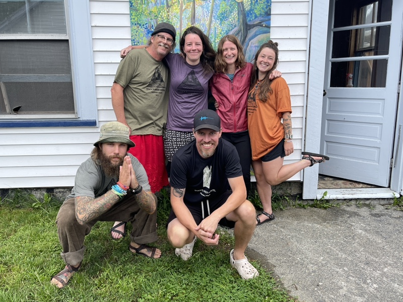
Tuesday the 23rd I woke up at Shaw’s, and had breakfast with the crew and Papa Jorts. We were all feeling quite fatigued still, and I certainly hadn’t slept long enough, the sun waking me up far too early for my liking.
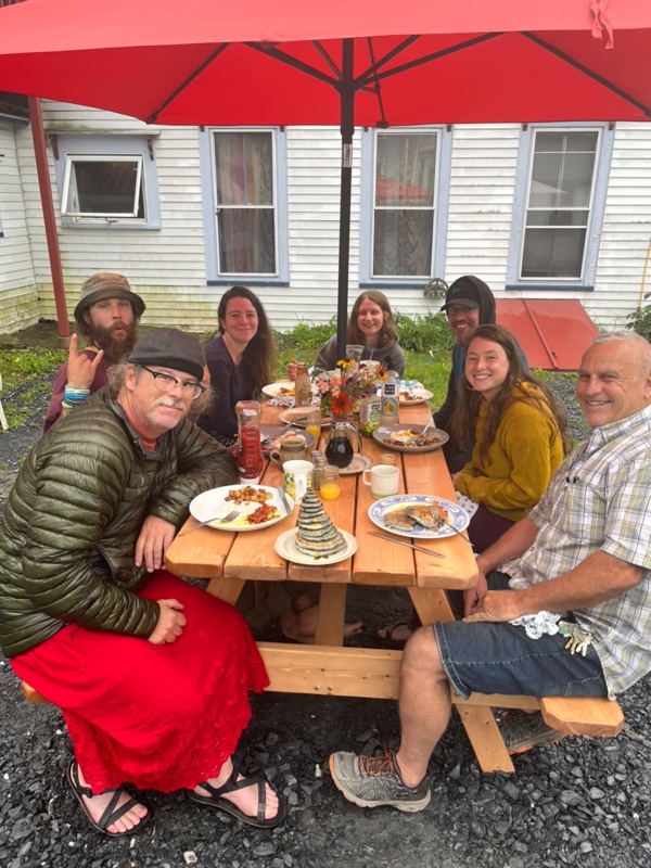
At 12:30PM, we said our goodbyes to Wicked, Honeybadger, and Einstein, then I got in Papa Jorts Wrangler with Sunshine and Cap’n Crunch for a four and a half hour drive to Worcester, MA. After more tough goodbyes, I took a bus to Springfield, got picked up by Malia, and got home around 8:30PM.
I spent two full days at home, resting and getting chores done. I had dinners with my friends and family, celebrated my mom’s birthday, and bought my new hiking outfit from REI, intended to make it sting less that I was going down south alone.
I was glad I only spent a couple days at home, because I was starting to get comfortable there, and I needed to stay in hiking mode. The next day, my mom and brother were nice enough to drive me two and a half hours south to meet Michele Walsh in NY.

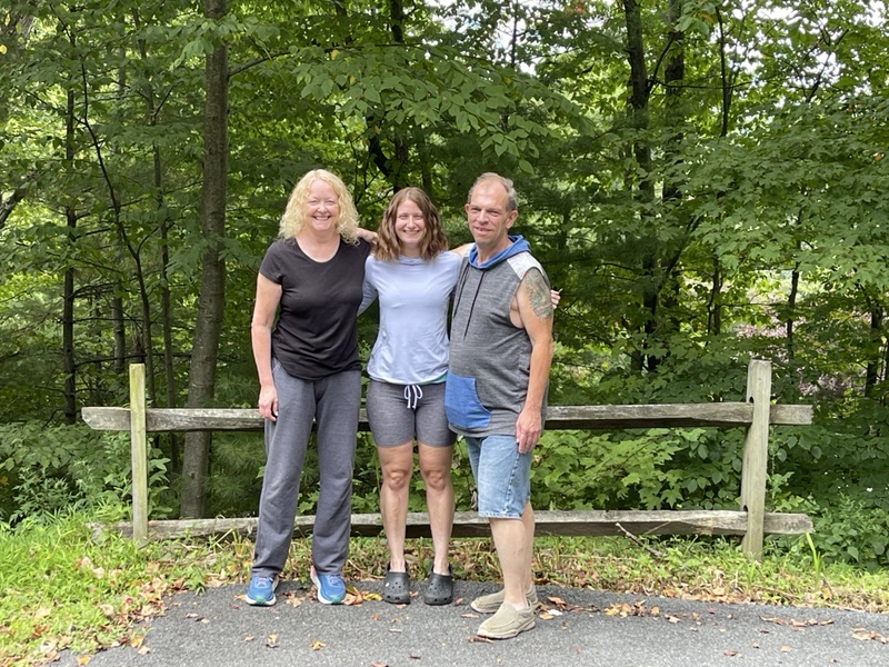
Michele drove me another two and a half hours to her and Ray’s home, where I spent the evening and next morning with them and their granddaughter, Ryan.
Ray and Michele spoiled me completely, treating me to some resupply food, a few delicious home cooked meals, and, of course, their wonderful company. It was also great to see Sasha and Rocky, their two pups. I was immensely grateful for their support and treating me like family.
Michele drove me to Harpers Ferry on my last day off, almost three hours in the car, and even bought me dinner when we got there. It was Saturday, and Harpers Ferry was jam packed with people milling about the historic town and enjoying the Potomac River.
I noticed we didn’t see any thru hikers at all in town, and my mood changing swiftly as I began to feel the fear of what I was about to do. I couldn’t wrap my mind around the fact that I was getting back on trail and all my NOBO friends were gone, especially Sunshine, who I’d traveled the last 400 miles before Katahdin with.
It felt stranger than I can describe to be back at Harpers Ferry after hiking north for months. It almost felt like I was regressing back to the person I was before I hiked nearly 1,200 miles. Unsure of myself and a little bit terrified.
Michele did her best to calm my nerves, but I knew I would just have to move through the feelings, and that I possibly would feel better when I was back on trail.
It felt stiflingly hot, and the weather was forecasted to be 90 degrees for the next several days. I noticed how different the foliage and flowers looked, and saw butterflies I hadn’t come across in hundreds of miles.
It was jarring, to say the least, and as Michele and I got back in the car to take a short drive to a trail angel’s house, I didn’t even feel like myself. I certainly didn’t feel like the woman who had just hiked Katahdin mere days ago.
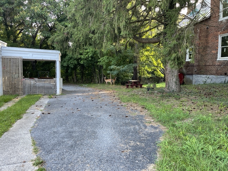
Lexi and Ben live in Harpers Ferry, just half a mile from the ATC Headquarters. Lexi had found me on Instagram from my Katahdin post, and told me she hosted hikers in her guest suite for free.
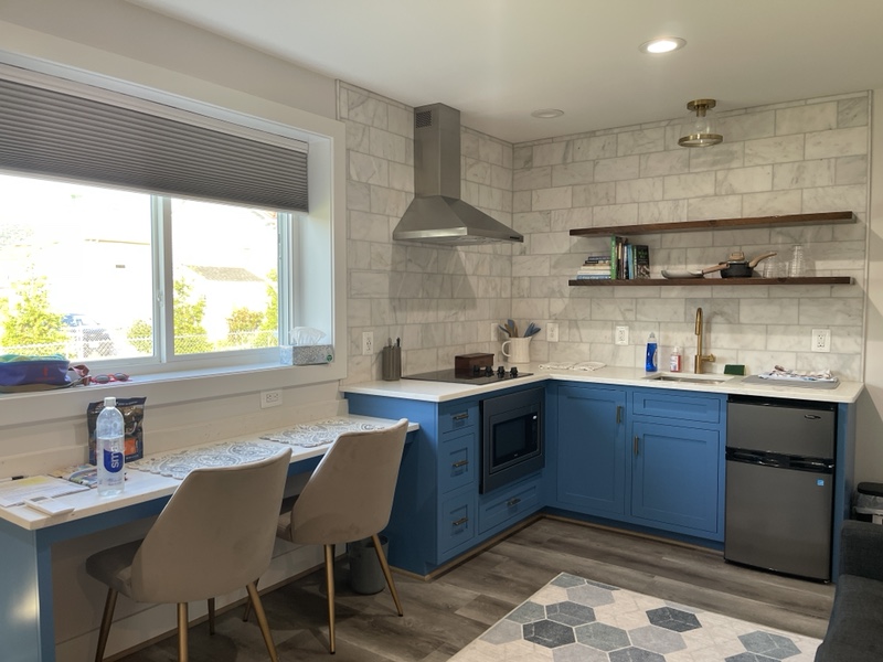
She and her family couldn’t have been more hospitable and generous. The guest suite looked like the most beautiful of Airbnbs, and they even gave me a piece of homemade quiche and fruit for breakfast the next morning.
It was hard to say goodbye to Michele, but staying at Lexi’s really helped the transition. I felt overwhelmed by the kindness and support I’d received from so many wonderful people, and hoped I’d be able to pay it forward in the future.
I intended to wake up at 6AM for my first day of hiking, but ended up snoozing my alarm till just before 7. I was rather dreading the day, and would have loved dearly to roll over and go back to sleep till much later.
I knew it was going to get hotter the longer I procrastinated, and I got myself en route to the trail around 8. I walked through a sleepy Harpers Ferry on the other side of the historic district, toward the ATC Headquarters where I’d started my hike May 13th of this year.
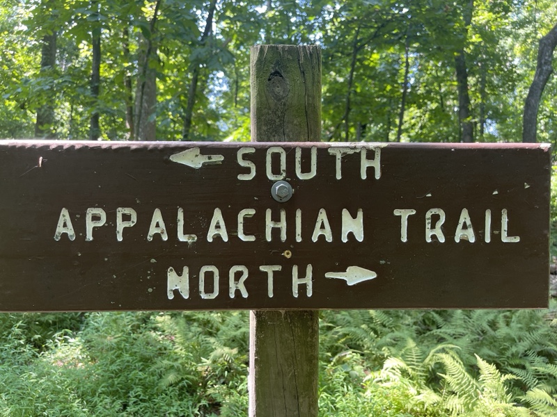
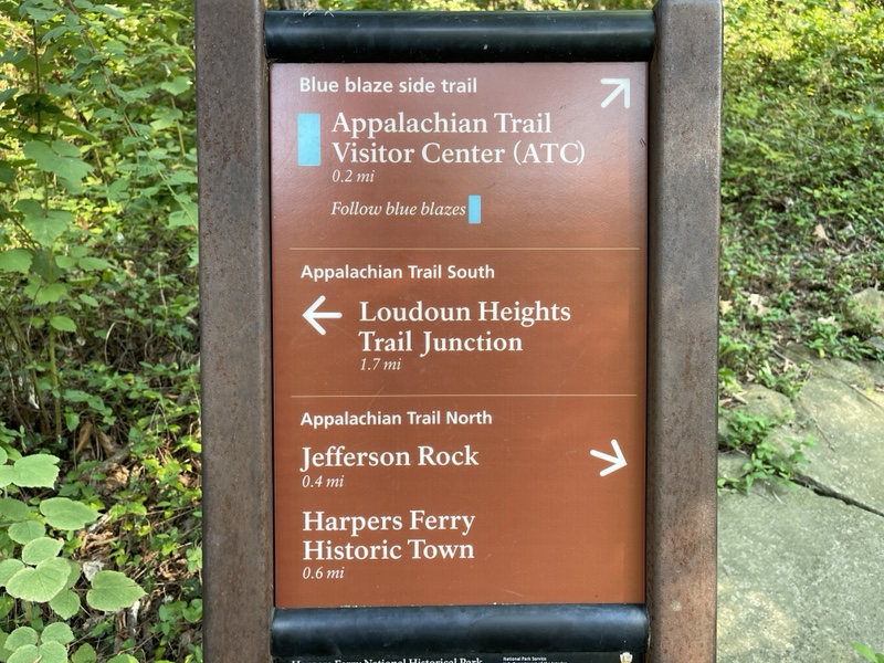
The Headquarters was closed, and I walked back up the blue blazed trail that took me a quarter mile to the Appalachian Trail junction where I’d first stepped foot on the AT this year.
The last time I’d gotten there, I’d turned left to go north. As I stepped onto the trail to turn right this time, I snapped a couple photos. It was then that I noticed the time: 8:28 on the dot.
I’d planned it out, with a bit of luck, to start the second half of my hike on 8/28/22, the two year anniversary of Frankie’s passing. This was his memorial hike, after all.
The fact that I’d somehow completely accidentally managed to take my first step on the AT southbound precisely at 8:28AM rocked me. Not only that, I’d also walked past a house numbered 828 on my walk from Lexi’s to the ATC Headquarters.
I could only imagine this was Frankie sending me signs that everything was going to be okay. Or just my own subconscious picking out patterns to help myself make sense of the world. Either way, it gave me something to feel besides the numbing fear that had enveloped my brain.
I hiked down to the highway bridge spanning the Shenandoah River, that I’d driven over the afternoon previously. I couldn’t remember the last time I’d hiked next to a highway, and found the noise of trucks and cars speeding by disconcerting.
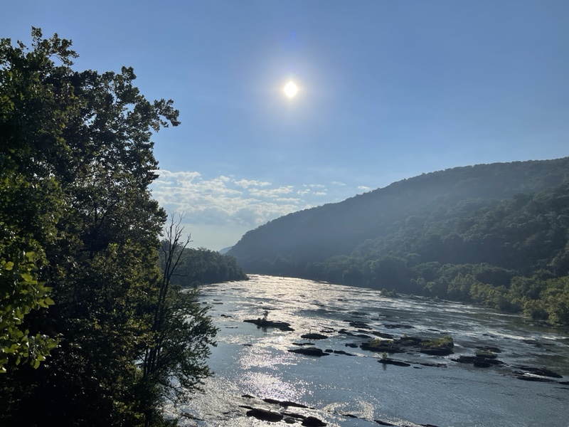
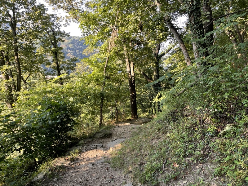
The white blazes then looped around underneath the bridge to cross the highway, finally spitting me into the woods again, where I began a 1.5 mile ascent out of town to the ridge.
It was only 900 feet up, so it was nothing compared to what I’d been doing the last couple months. I did find myself sweating quite a bit, because the sun had been beating down on me accompanied by the type of humidity I still wasn’t fully used to yet.
I saw day hikers all over the place, being a Sunday near Loudoun Heights. I was also not used to the trails being so crowded again, and had to step aside several times, even when I was the one going uphill.
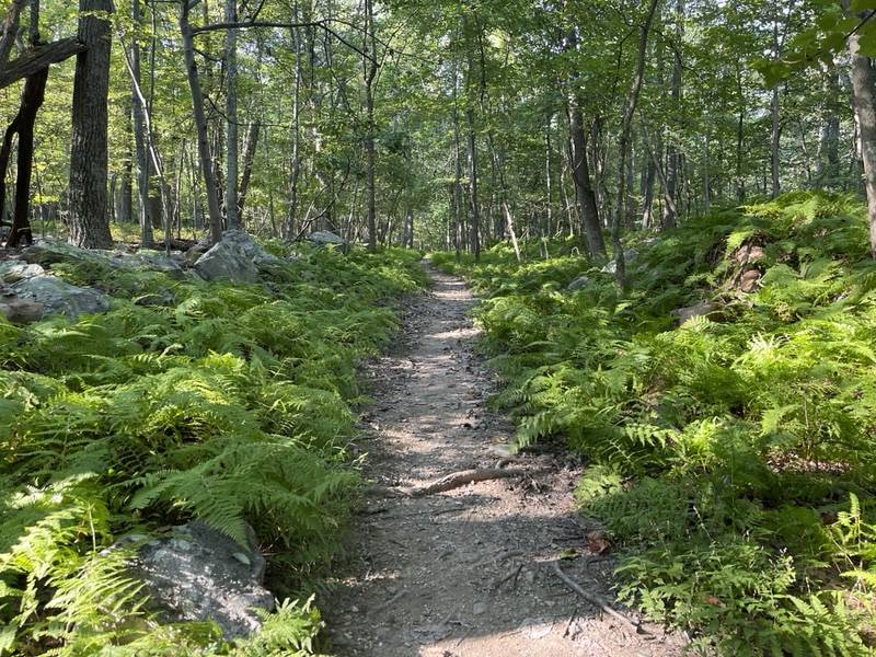
I kept a steady stream of my two favorite podcasts on all day, to help with the loneliness and catch up on several episodes I hadn’t gotten around to yet.
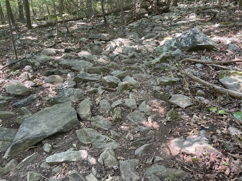
Nearly 4 miles into my day, I stopped for my first break at a tent site on the ridge. There had been several very rocky sections on the ridge, and my feet were sliding around in my new shoes.
I’d gotten a third pair of the same size of Hokas I’d been wearing since a New Jersey, and a new pair of Darn Toughs, which were lightly cushioned.
I usually wear medium cushioned socks, and my shoes already seem to be a tiny bit too big for me, based on how the heels of them wear down so quickly. A half size down was too small, though.
However, possibly because my normal foot swelling had gone down over the five days I’d taken off, or because of the new socks, my feet felt like they were swimming in my shoes. It only made sense I’d start having shoe problems again now that I was back down south.
I thought I’d give it a week and see how they felt after that. Maybe my feet would return to normal size, or I’d just switch back to the medium cushioned socks. I’d been through this too many times to panic about it at this point.
I was feeling quite down still, very out of place and uncomfortable. I noticed in the guide that 2 miles ahead there was a spot to get picked up to go to Stoneybrook Farm, another Twelve Tribes donation-based hostel like the Yellow Deli.
I’d heard of that one before but never had been to it. It would put me at only 5.68 miles for the day, but I could bail out there and make up the miles the next day.
I was planning on doing 98.6 miles this week, and was taking it easy transitioning myself into this, because I knew it was going to be hard on me mentally. Because of the way my brain works, switching tasks can be difficult for me, and this was the mother of all task switching.
So I was taking two days to go 20 miles to Bears Den Hostel, and I could easily do 14 tomorrow. My con to this plan was that I didn’t think it would exactly help me reintegrate into trail life like I needed.
It was 10:30 by the time I was done with my long break and had eaten a snack. I couldn’t make up my mind if I should bail or not, so I told myself to hike the 2 miles and see how I felt.
I have trouble making decisions on my own, often frozen in a sort of fear of making the wrong move. From large to small decisions, if I have time to overthink, I certainly will. I hoped a silver lining of spending more time alone on this half would be that I could sharpen my decision making skills.
The hike to Keys Gap was relatively flat, and I arrived at the noticeboard near the parking lot still not sure what I wanted to do. I sat on a log and opened the guide app to give me time to think.
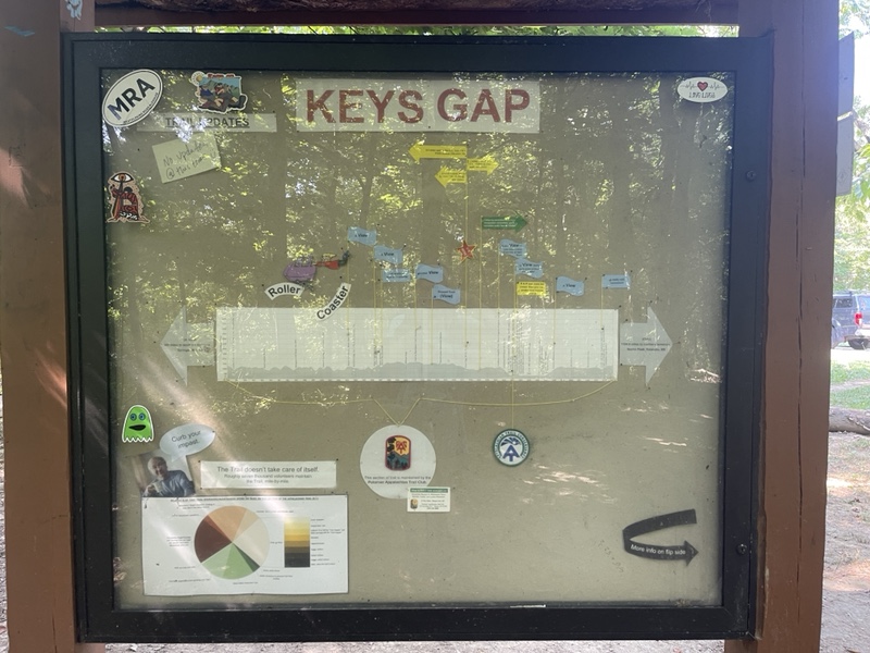
It was quarter after 11 as I sat there, and was surprised to see my first thru hiker of the day, the same male around my age I had spotted briefly in town when I was at dinner with Michele.
He walked by and we said hi to each other. I knew I should have tried to make conversation, but something stopped me. As he walked away I saw the pink AT thru hiker tag hanging from the back of his pack.
Though I didn’t speak to him, I was intrigued. I saw him cross the road ahead, and somehow that made my decision for me. I wanted to be where thru hikers were, and a couple minutes later I crossed the road myself, which was a state border crossing for those traveling by vehicle. The Virginia border crossing for hikers was still miles ahead.
The ascent out of Keys Gap to David Lesser Memorial Shelter was another very easy climb that barely felt like climbing. At least my body was providing ample evidence that I was the same hiker I’d been less than a week ago.

I stopped to drink propel on the way up, the humidity definitely telling me it was time. I passed more and more day hikers going the opposite way as me, and saw a whole troop of Boy Scouts. I chatted with one of the leaders for a couple minutes, which I counted as my first real social interaction of the day.
I arrived at the shelter 100 yards off trail at 12:30. It was a very nice one with a large deck baking in the sun and a swinging bench down the way. Staying at the shelter had been another fallback option for my day.
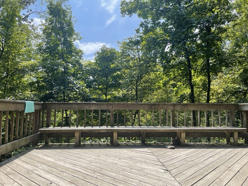
I didn’t see the other hiker, and knew from the scout leader that he hadn’t been far ahead of me. The shelter was deserted, and I sat down with the intention to have lunch then decide what to do.
It felt extremely hot in even in the shade, and I lamented the fact that the beautiful lakes of Maine were no longer mine to swim in. I ate a cinnamon raisin bagel with peanut butter, and opened the trail logbook.
I was disappointed to find that it had been replaced about a week after I’d started my hike this year, meaning I wouldn’t see as many familiar names as I’d been hoping to.
However, a couple pages in I saw multiple hikers names I knew including Sherbet, Samwise, Frodo, and Catchup. That broke me, and I cried into my bandanna, finally overcome with emotion at the fact that the first part of my hike was really, truly over.
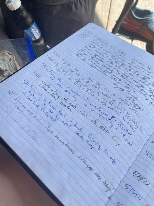
Still, I won’t say it wasn’t an absolutely rewarding experience to get to read the journal entries from my NOBO friends when they’d been just halfway through their hikes, knowing how their AT stories would end in success.
I’d been really looking forward to the trail logs since I’d been hiking with the Cult. Unfortunately, I didn’t see any of their names in the book, and thought they must be in the prior one if they’d stopped there, based on the dates.
I’d brought a liter and a half of water from Lexi’s, and ended up drinking most of a liter at the shelter during lunch, consuming more than usual due to the heat. I used the last of my water to mix up a propel and caffeine cocktail, feeling highly fatigued.
At this point I knew I needed to make a decision if I was staying at the shelter or not. This area was very dry, as I’d been expecting, and the water source was .25 down a steep ridge.
Or I could go to the Blackburn Trail Center, which had been my plan A for the evening. It was 3.4 miles further, and also a steep quarter mile down the ridge. Either way, I was making the trip down, it was just a matter of which place.
I knew there was a caretaker at the trail center, and I was in desperate need of people to be near and talk to. Not only that, but the shelter bees that had been minding their own business up till then began to behave aggressively toward me.
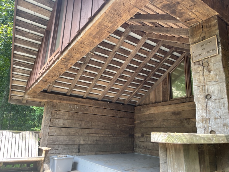
I took that as a sign, and packed up my stuff to continue on. There was no way I was getting water .25 down if I was going to Blackburn. I’d drank so much at lunch I figured I’d down the second half of my mixed drink on the way there, and roll into camp thirsty, but not dehydrated.
It was 2PM when I left the shelter, where I was immediately brought into an overgrown section of trail that had me triple checking for ticks. It had been nice not worrying about them so much up north, though I nearly always wore bug spray no matter where I was.
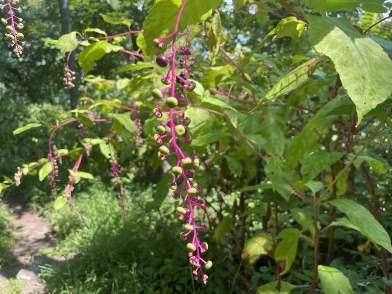
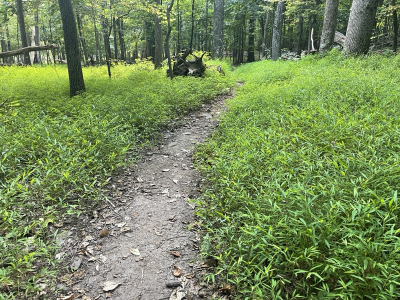
Once I got back to less overgrown trail, I found to my great surprise that I was starting to feel almost normal again. I soaked it in, noticing the beautiful grasses on either side of the trail glowing in the afternoon sun, finding that the heat had somehow waned a little, though the weather had forecasted late afternoon to be the hottest part of the day.
I put on a bit of music for the last part of the day, the same Florence + The Machine album I’d listened to for the first time in Baxter State Park.
I made a stop at an unimpressive view, inspired by a comment I’d read in Far Out. A user named Superfly wrote that they’d buried their dog, Leila, there this May. Superfly wrote that Leila had hiked the AT in 2017 and loved hikers, and would also love if they stopped by and said hi to her.
On such an important day to me, I of course had to make the short side trip to say hi to Leila. I didn’t see any indicator of where she might be buried, but at the rocky outcropping I spoke aloud to both her and Frankie, watching the tips of trees rustle in the lightest of breezes, imagining they were responding to my words.
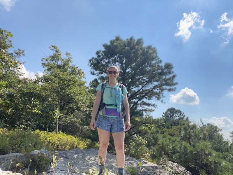
At 3:26 I made my way down the ridge on a side trail to the Blackburn Center, where the first thing I saw were large hydrangea bushes planted next to the stairs. When I buried Frankie we (my friends Syndey, Evan, and I) had planted a hydrangea bush on top of him.
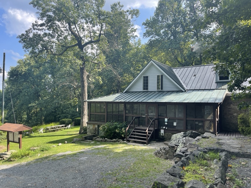
The center was quite lovely, with hummingbirds sipping out of feeders, grassy lawns, a solar shower, and a small view into a valley. I met Crocs, one of the caretakers, and spent several enjoyable minutes talking with him about various trails he’d done and that I wanted to do.
Crocs had thru hiked the AT in 2012, done the PCT, the CDT twice, the Florida Trail, the AZT and more. He and his girlfriend were running the center for the summer, but he was itching to be hiking again.
Crocs said I could stay in the four person cabin behind the center, or sleep on the screened in porch of the center itself. It was a huge wraparound porch, and seemed perfect to me.
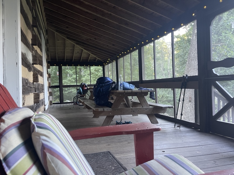
I excused myself to get settled in, and saw that there were two hikers on the porch talking. One was the male SOBO I’d seen earlier in the day, and the other young male looked very familiar to me as soon as I saw him.
He told me his name was Bard, and I realized instantly where we’d met. In the field next to the co-op in Hanover with Shrek and Uncle Iroh. The happiness I felt at seeing another hiker I knew on day one was instantaneous and encompassing.
Bard didn’t recognize me at first, he said my face looked different, but as soon as I refreshed his memory he was pleased to see me as well. He told me Uncle Iroh was still in Harpers and was about to slow down to hike with his dad. Since I was going slow to start, I hoped I might see him soon.
I sat and talked with Bard and Early Bird, the SOBO hiker, for quite a while. It felt wonderful to be around multiple thru hikers, and I was immensely happy that I’d made the trek to the center.
I was even happier when Crocs’ girlfriend, Gibz, came by with popsicles for us, and even offered to feed us a spaghetti dinner when they returned from a short hike. We all had full food bags, but didn’t hesitate to accept such lovely trail magic.
I had a feeling the caretakers were happy to see us, as apparently the thru hikers had dried up for a bit. A quarter mile off trail isn’t a trip that the majority of thru hikers are willing to make.
I also found out from Early Bird that when he had been through Harpers Ferry he was only the 16th SOBO registered. It seemed we were still ahead of the majority of SOBOs.
I read some of the logbook for the center, which went back multiple years. I found Quarter Tank and Platinum’s names, registered on May 13th, the day I’d started my hike going north. I’d been 20 miles ahead of the Cult, give or take, when I’d jumped on trail.

I also saw Squirrel’s name, and several other NOBOs from this year. I also now knew that fellow flip floppers Clydesdale, Goose and Gander, Trail Mix, and Chill Out were all just ahead of me.
Goose and Gander were a sweet younger couple that I’d met in Duncannon. I’d hiked out before them, and never saw them again, but Rude had told me they were around. I hoped I’d catch up to them.
I spent a little time reading one of the AT Journals magazines, where I found beautiful and apropos quotes that helped me feel better about my current circumstances on trail.
I checked in with Michele and Sunshine to let them know how my first day had gone. A section hiker named Tessa arrived as well, and I chatted with her for a few minutes.
We all hung out for a delicious spaghetti dinner around 7, with garlic bread, lemonade, and homemade brownies for dessert. It was heavenly, and truly amazing trail magic to help make the transition a little easier.
We swapped stories and answered Gibz’s questions about the AT, since she hadn’t hiked it before. I was thrilled when Early Bird brought up Mountain Goat in conversation, and said he’d hiked with him.
I’d met Mountain Goat, and his dog Franké (pronounced like Frankie) at Hikers Welcome, and it felt like another sign that today, of all days, I met someone who’d hiked with them.
We turned in around 8:30 after the sky was fully dark, all four hikers sleeping on the porch, while Crocs and Gibz turned into their quarters above the garage next to the center.
The forest was full of insect and animal sounds I wasn’t used to, and would need a little time to adjust to. My allergies had come back with a vengeance, activated by new pollen and plant life I hadn’t been around in months. Tessa was nice enough to give me some Benadryl for it.
It had been a roller coaster of an emotional day, which was appropriate since I’d be hiking the actual Roller Coaster portion of trail starting tomorrow, which is several miles of ups and downs.
I’d have to mourn the hike I’d had in order to fully experience the hike I was going to have. I had to remember all I’d done and accomplished, but understand this wouldn’t be the same as the first half of my hike, and it shouldn’t be.
I realized I need to keep an open heart and mind going into this southern portion, and couldn’t let myself get tangled up in the past. That part was over, and I needed to release it with love and know all the lessons I’d learned and memories I now had would be with me forever.
I adored the first part of my hike, and the best way to honor that would be to have an amazing second half, by continuing and completing the journey of growth I’d begun three months ago, just 12 miles north of where I now found myself moving south.
———
*Note: I have switched my Far Out guide to Southbound, so I will now be using SOBO mile markers.
For example, ATC Headquarters is 1025.4 for NOBOs, but 1168.9 for SOBOs, reflecting the difference in miles traveled from Springer vs Katahdin.
SOBO mileage markers now indicated the total length I have traveled on the AT.
*I have also decided to count my five days off in the total length of my hike, so I have jumped up five days in the official count. I was on the fence about this, but think it makes the most sense to count them.

